The Good The Bad and The Ugly

The Good The (not too) Bad and The Ugly

Prince Rupert
It was good it didn’t rain the whole time we were there.
Too bad, the Wheelhouse Brewery tasting room wasn’t open while we were there.
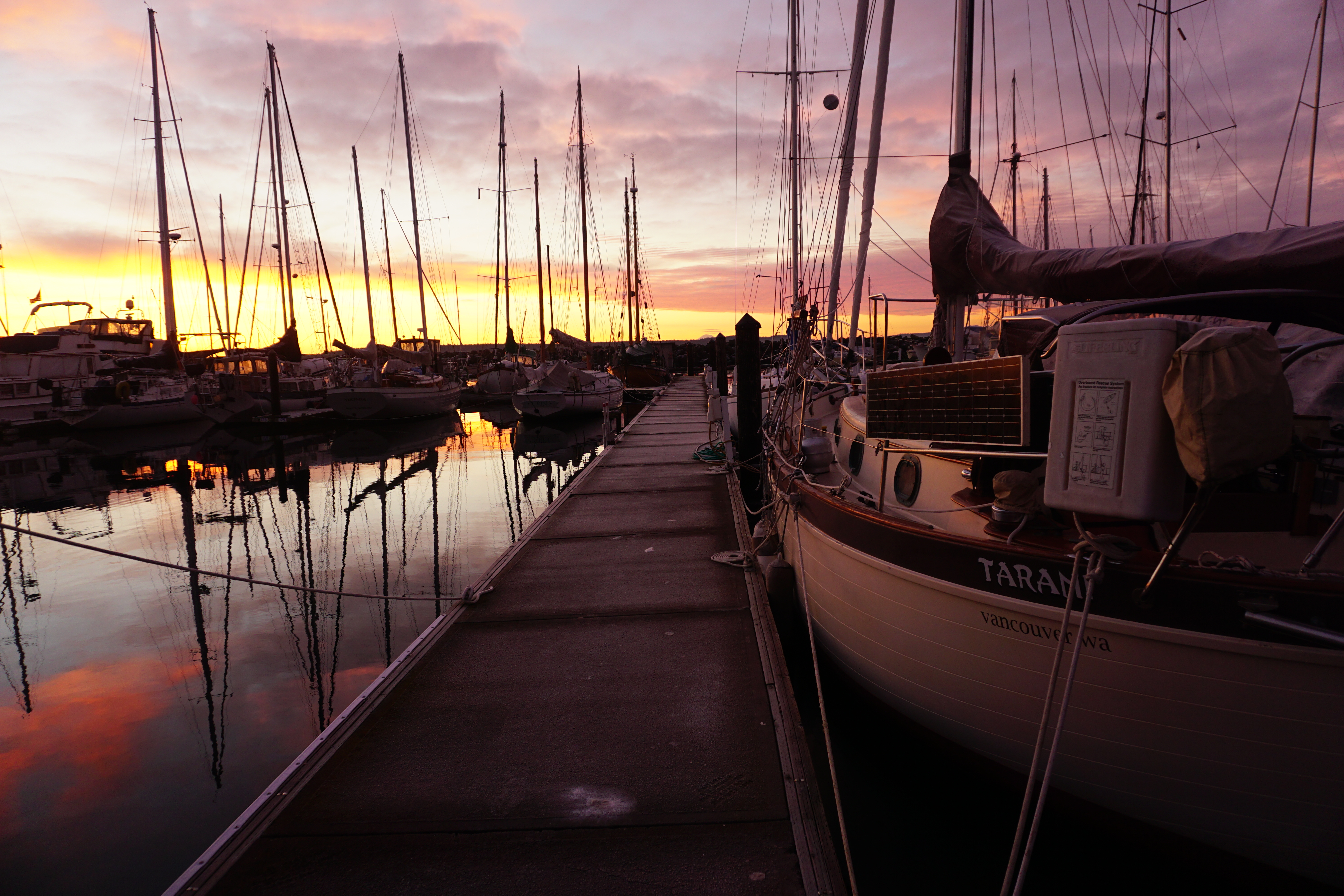
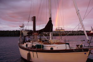
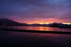
The sunrise on our day of departure was “ugly” (red sky at morning sailor take warning)
DSC01352
Dundas Island
Nice quiet anchorage just south of US-Canada border.
Bad biting sneaky little bugs found us after we went to sleep even though we tried to hide.
Ugly scabby sores that take a week to heal.

Dixon Entrance

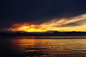
Good sunrise as we got underway at 0430 (0330 AK time).
DSC01364

Not much wind but conditions much better than NOAA or Environment Canada forecasts. Not bad.
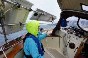
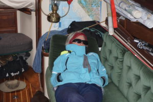
Ugly Hair Day
DSC01356
Ketchikan
Good people and good bars (The Asylum, Arctic Bar, Sourdough and its gallery of shipwreck photos, thePotlatch,etc.)
DSCN2087
Bad red-light district on Creek Street (where men and salmon go up to spawn.)
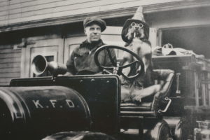
Ugly humongous cruise ships, about 4 at a time. Also ugly was the driver of this antique fire engine in a picture at KFD’s museum.
DSC01406
Clarence Strait
Good sighting of a humpback whale feeding as we left Tongass Narrows and headed up Clarence Strait. Forecasted SE 15-20 winds and 4 foot seas seemed overly pessimistic, conditions were much more benign so we headed across.
An hour or two later,after we were committed winds picked up to what was forecasted, Tarani showed her usual tendency to roll in a quartering sea.
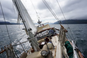
Things got exciting maybe even a little ugly as wind picked up further. NOAA now issuing an updated forecast of wind SE 25 and 5 foot seas. We had all of that and a little more. Reefed sail then reefed again. Winds gusting to near gale force, took the main down, was still making about 5 knots with bare poles. Last hour or two was surfing downwind with staysail only.
DSC01430

Meyers Chuck
After a nice tight entry, crabbing through rollers between foamy rocks we found a totally calm haven and an open dock to tie up to. Good. Very Good.
No bad and no ugly, just a beautiful quiet scenic place. Kayakers Donna and Don, paddled in between showers. They’re a middle-aged couple (like us, haha) who are paddling from Bellingham to Juneau. Actual adventurers. Also met Tom and Anita of Spirit Quest here who are from Port Townsend and had been a couple slips down from us at Point Hudson. Small world.
DSC01462

Posted from Wrangell. Next internet probably in Juneau in about 1 week’s time.

The Wreck of the SS Ohio

Pacific Northwest cruisers use multiple references as they plan their travels through these waters. Tide and current tables as well as charts and weather reports are the basics. Beyond this are the “Sailing Directions” and guidebooks that describe different anchorages and help you discover interesting places to visit along the way. The different guidebooks often offer similar descriptions of places. The similarity between guidebooks is not surprising if you allow that the various authors must be reading each others offerings.

Recently I was intrigued by a contradiction between two of the guidebooks. We had just left Windy Bay on Sheep Passage and were making for Hiekish Narrows. The Narrows can run up to 5 knots, north on the flood, south on the ebb. I wanted to make sure we’d be going with the flow.I also glanced at the information for nearby Carter Bay, the site of one of the more significant shipwrecks of its era. At 1:00 a.m. on August 26, 1909, the steamship Ohio went down there but one guidebook said the quick action of the captain saved all aboard while another guidebook said four had died. Hmmm. It was my understanding that those who drowned in shipwrecks back then didn’t simply die, they “perished”. So what really happened back on that dark and stormy night? We decided we had a mystery to solve and first hand investigation of the site was the first step.

As we turned north into Carter Bay the fog cleared a bit and we were confronted by a large cedar tree in the middle of the bay. The chart showed the symbol for a wreck up near the beach but did not help us understand this tree. It was upright and about 30 feet tall, its branches were rusty brown and it looked pretty dead. Initial impression was of an ominous sign that we were entering dangerous waters. Most sailors avoid areas where trees are sticking up. The closer we got to the tree the more nervous the first mate became. The depth sounder showed us to be in 90 feet of water but this did not reassure her much. We crept past the tree which I guess was some massive snag that had been floating around and ran aground in the bay with its rootball on the bottom and 90 feet of its trunk underwater. Quite impressive.

We proceeded at dead slow speed, the mate on bow watch and the depth sounder dropping quickly. We could see the mud and rocks of the beach clearly ahead and a barnacle-encrusted something on the water about twenty feet ahead of us. We were distracted by a bear on the beach. Then a large-sized eagle screeched to us from his perch in a snag. When we were about in 10 feet of water we could see the bottom and our fear of grounding was quite high. It was then that we realized that we were almost on top of the wreck.

We could make out a ghostly triangular shape in the water next to us that we had to be the uppermost portion on the bow angled up towards the surface as though it was trying to surface for a gasp of air at the next low tide. The barnacled thing sticking out of the water wasn’t right at what might have been the bow but was not far back, maybe it was a stanchion.

The SS Ohio was launched in1872 and was at that time one the largest iron ships ever built. She was 343 feet long and 3104 gross tons. For 25 years she crossed the Atlantic on the Liverpool-Philadelphia route but with the onset of Gold Rush fever she was sold and transferred to the west coast to run between Seattle and Nome. In those days the passage would have taken 9-12 days and cost $75-$100. Interestingly, two years before she met her fate at Carter Bay she hit an iceberg in the Bering Sea. She remained structurally intact but 75 passengers panicked and jumped overboard, Four drowned before they could be rescued. Four perished that is.

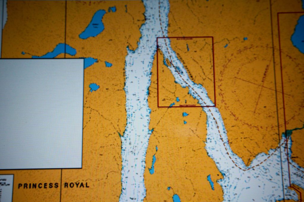
In 1909 before widespread aids to navigation were placed, before radar and GPS and modern radios, the ships in this tricky area of the Inside Passage followed a custom whereby southbound ships would use Tolmie Channel that runs along the west side of Sarah Island, while northbound ships would use Finlayson channel. At the northern tip of Sarah Island, just past Hiekish Narrows the two channels join together as Graham Reach. The Ohio was going up along the east side of Sarah I. and had to make a sharp turn to port, just where Sheep Passage comes in from the east, and then line up to go through the Narrows, one side or the other of Hewitt Rock (see detail below).
DSC01350

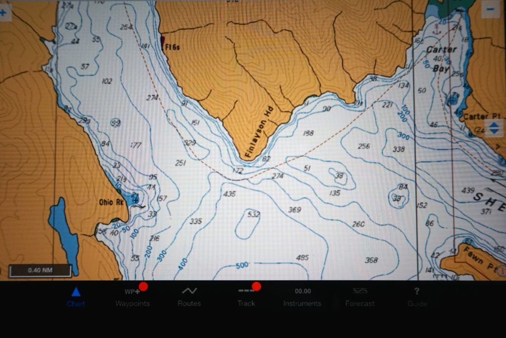
Above: Running roughly N-S, on the left is Tolmie Channel, on the right is Finlayson, with Sheep Passage feeding in from the right. Carter Bay, site of the wreck, is just above the lower right corner. Detail below left. symbol for wreck in the upper right corner.
DSC01351

But the Ohio was running on what was reported to be a very dark night. High winds out of the southeast, heavy rain falling. The Captain (whose name I have not learned yet) cut the corner too closely and struck on an uncharted rock that is now named Ohio Rock. Apparently he rapidly understood his situation and he gave the order to steam at full speed for Carter Bay. At least one reference indicated he did not make it as the boilers exploded when they became filled with seawater (evidence indicates he did make it). One can imagine the state of the passengers, most of whom were probably quite asleep. It is reported that some passengers jumped but others were transferred ashore by the Ohio’s boats. And the marooned were evacuated with the aid of a fishing boat, the Kingfisher, and the steamers Humboldt and Rupert City.

And yes, four people perished. The story is that some crew stayed behind to aid a sick soldier. The soldier was Dock A. Hayes. The three crew were QuartermasterAlbert Anderson, Wireless Operator George Eccles, and Purser F.J Stephen. And that for me, that tale of professional heroism, is thus far the big story of the wreck of the Ohio.
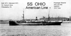
 

SS_Ohio

Above: In her prime. Note the masts for auxilliary sails.
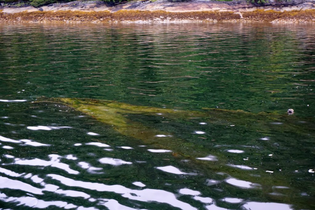
DSC01181

Wreck of the SS Ohio, photo taken at 0830, 17 June 2016. 2.5 hours after a low tide at nearest tide station Bella Bella of 3.6 feet.

We circled the wreck then headed back out. The bear wandered into the woods. A last screech from the Eagle and we creeped past the proud but dead cedar tree who was probably about the same age as the Ohio. This mystery remains unsolved.
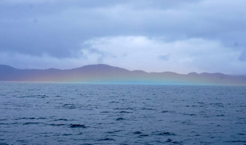
Rainbow fog

DSC01043

Left Fury Cove in kind of nasty conditions as we crossed over towards Hakai Pass. A couple hours later we we were rewarded by a sun break and this kind of fog I never saw before.

Anchored at Pruth Bay, next morning visited the Hakai Beach Institute, very nicely done, privately-funded marine research project. They maintain a number of trails to beaches on the ocean side of the island which we hiked. Beautiful. Kept a watch out for sea otters in Hakai Passage on our way out where we saw them last year but didn’t see any today.

DSC01055 DSC01067

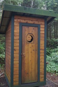
DSC01052 One Pretty Potty!

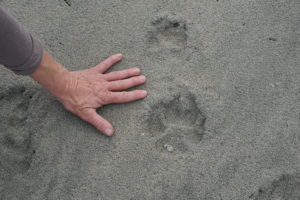
DSC01062 Here kitty kitty.

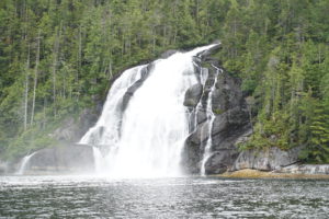
DSC01130 Kynoch Falls, up Mathieson Channel

DSC01148 Absolutely beautiful Kynoch Inlet.

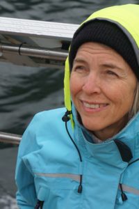
DSC01138 Karen is always sunny.

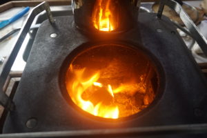
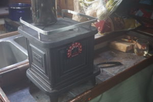
Its been rainy or foggy or drizzly since… I forget, 10 days or so. After Pruth Bay we anchored at Codville Lagoon, stopped in Bella Bella, anchored at Kynumpt Inlet, Rescue, Bay, Windy Bay and Coughlan Anchorage. Our little Sardine Stove is our best friend at the end of the day to get us all dried out.

DSC01092DSC01093

Warm regards.

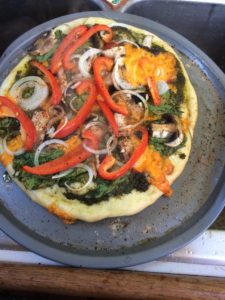
Solar vegan pizza

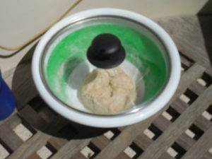
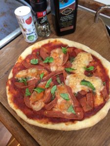
Cooking on the boat demands planning. A lack of counter space directs a step-by-step approach to prepping. We make our own dough and try to rise it in a mixing bowl with a glass lid set out in the sun. Hence the name “Solar Pizza!” However, lately on this trip- no such sunshine. So, I used heat off the diesel engine and later from the wood stove. Still, it didn’t rise as well as when set out in the sunshine.DSCN1899IMG_0228

IMG_0243DSCN1963

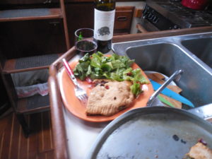
A simple boat pizza (or a calzone!) with caesar salad makes a great meal!

* all meals prepared by nonprofessionals on a little sailboat for crying out loud. Do try this at home.


Johnstone Strait and around Cape Caution

Johnstone Strait can be a son-of-a-bitch, but if you’re heading on towards other parts it can be a helpful shake-down for both crew and boat. On our 2nd try we made it out of Sunderland Channel and into a rough body of water. Winds were SW at only about 15-25, but there was a ebb current heading west towards to Ocean. I guess it frequently tends to get rough at the confluence of Sunderland and Johnstone according to locals.

DSC00924

DSC00936

Once we remembered we were in a sailboat and got her set up to sail, and turned off the infernal combustion engine we did great. Tacking up Johnstone with a reef in the main and the jib furled in a notch or two made for an interesting morning. Had to keep a vigilant watch for major sized timber floating around.

By the time we approached Havannah Channel the wind had died right off. We were coasting along on the fumes of the breeze and sailed the last mile or two at half the pace of a dead man walking.

Pizza at Port Harvey

DSC00940DSC00949

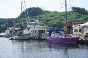
We’d planned to make a definite stop at Port Harvey marina to support the proprietors there, George and Gail who pretty much lost everything last fall she their barge sunk, taking down with it the restaurant, the store and gift shop. Everything except their home. And the dock. And the diesel generator shack.

We tied up right behind Darwind who had a similar Johnstone story to relate. We met the neighbors, all nice boats and people. Helped George move his 500# pizza oven underneath the party tent staked out on the dock. And gave him our order for pizza, veggie of course.

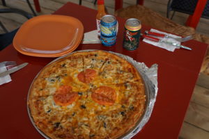
Pizza was grew, cinnamon buns delivered to the dock the net morning were great also. I encourage all cruisers to stop in an spend some money at Port Harvey. These folks are great.

Provisions at Port McNeill

Port McNeill was about the same as usual except I Karen and I tried a new restaurant this tine; “Sportsman’s Steak House”, not a spot that the average vegetarian gravitates to, as you might imagine. However, it was our 29th anniversary dinner spot and it was actually very good. Karen has grilled salmon over tortellini while I ordered the Veggie Greek plate that was chock full of excellent renditions of mediterranean goodness. Atmosphere was very nice, not “Sportsman” at all. Prices on their bottles of wine were very reasonable. We moved on to the pub next door for dessert as very happy campers.
DSC00978 Rainbow indicates where I throw all my gold.
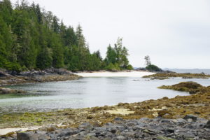
Crossing Queen Charlotte Strait we sailed sweetly to windward all the way into Blunden Harbour. There once again found John on Gypsy Woman and after dinner I rowed over to his boat and we had an Alaskan Amber. On return to our boat I told Karen we should deflate and stow the dinghy in preparation for rounding Cape Caution the next morning. (Note to self: get out of the dinghy before pulling open the valves that deflate all the sections. 2nd note to self: when you abandon the dinghy because its sinking try to take the painter with you.)

Next day, I almost puked rounding Cape Caution. We got some awesome sailing in but with 2 meter swell coming in from our stern quarter our boat likes to roll. Side to side. Tried to drink a lot of water and keep eating stuff, that helped. Once past Cape Caution we turned northward and it was a good downwind run to days end anchorage at Fury Cove. Got the stove going to dry things out and went to bed early as the rain continued.
DSC01026 DSC01035Fury Cove, off Fitz Hugh Sound

Safe & Lazy

This section of the trip, from north of Desolation Sound to the west end of Johnstone Strait, is taking a longer time than during my two previous years’ through here. We made it nicely through Yuculta Rapids, Gillard Passage and Dent Rapids, despite it being a largeish spring tide. But after those challenges we figured we might not make it in time to safely transit the next two rapids at or near the slack current. So why not drop down Nodales Channel to Thurston Bay “Parc Marin” and take a lazy break for the whole afternoon.

DSC00851DSC00858DSC00866


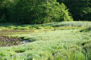
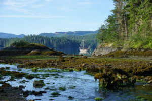
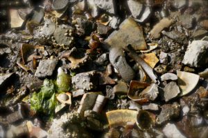
Next morning I can’t remember what excuse we used for not trying to make the morning turns at the rapids but instead we woke late and rowed to shore to explore a muddy creek outlet at low tide. We found a stand of abandoned apple trees, some bear tracks and a midden of human artifacts from maybe the early to mid 20th century. Look for the sole of a toddler’s shoes among the broken pottery and bottles in the photo above. Wonder what the story was of this bygone settlement?

Then we slowly cruised towards Shoal Bay, visiting with Mark the owner of the place there. Checked out their garden, and their outdoor wood-fired oven. Way cool place.

DSC00873

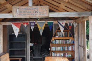
Next to Blind Channel resort with just enough time for fuel and some grocery purchases. Was able to crab (sliding sideways)up  into Greene Point rapids against the flood tide but then we couldn’t quite get to Whirlpool rapids in time (or so we told ourselves). Instead we went up Lochborough Inlet to Sidney Bay. Came upon a sturdy but rustic wood float that had a library in a dinghy.

Sidney Bay
Sidney Bay

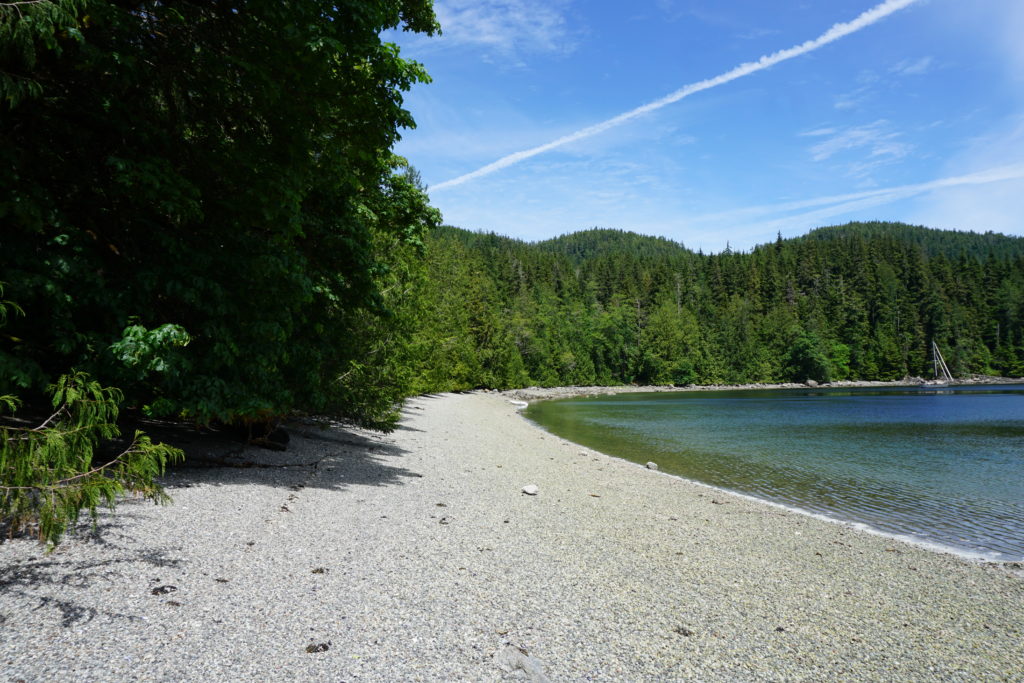
Well, being too lazy to row across the bay to pay the moorage fee to stay we opted to anchor out instead. Its a sweet little cove. While anchoring Karen got a little lazy with the lever on the anchor windlass (Bad Windlassie!) and it taught her a lesson by splitting her lip. Poor kid, she says it doesn’t hurt but I’m pretty sure she would have got a  few stitches in town. But we’re too lazy to call a Coast Guard mission to evacuate her so she’ll get a little scar instead. After a few days I plan to start calling her Scarface, maybe she’d like a cool nickname like that.

Next day after Whirlpool Rapids we tried to head down Sunderland Channel to Johnstone Strait where it would have been a run of at least another 5 or 10 miles into a sheltered side bay. But the wind kept building until we had about 25 knots with 3-4’ steep chop due to wind on ebb current action. And the forecast called for gale winds of 30-40. So, being too lazy to sail in such conditions we turned around, flew out the staysail and went back to Forward Harbour like a dog with its tail between its legs. On the way in we noted an example of extreme laziness, off to one side was a wrecked powerboat of some size laying on its side, sunk in about 6’ of water at low tide, its green mossy cabin giving it a dread appearance. Eventually we joined about a dozen other lazy boaters anchored while waiting for the gale in the Strait to blow itself out.

Beach at Forward Harbour

DSC00900DSC00881

We don’t mind these delays very much. Turns out we enjoy being lazy, this afternoon we strolled along the barnacly beach and read books and took safety naps. I keep asking Karen, “Is this more or less what you had in mind?” She keeps saying yes.

Peaceful anchorage

DSC00786 Frances Bay, looking towards Pryce Channel. 3 June 2016
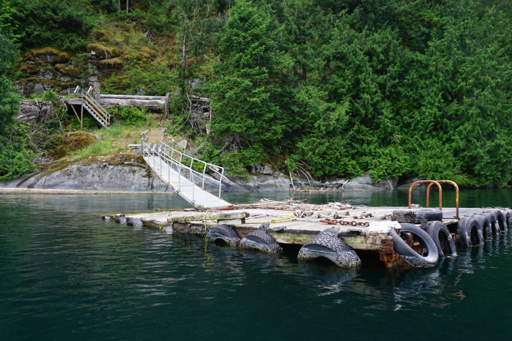
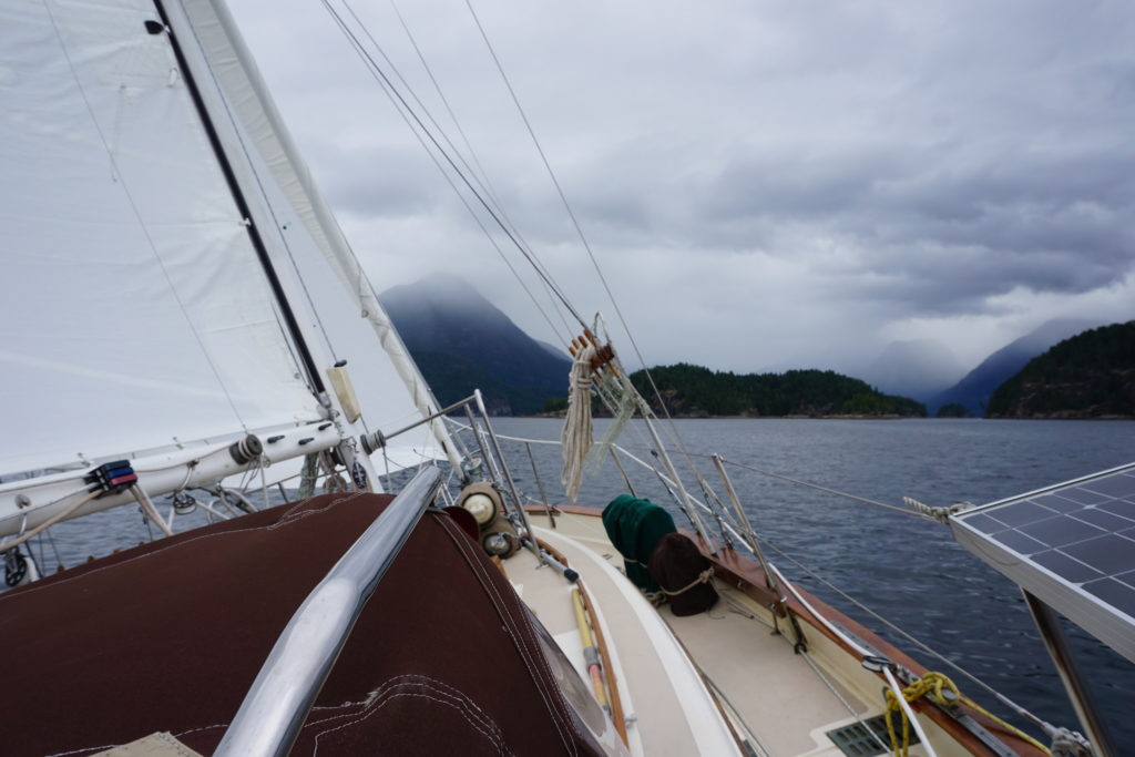
We’re anchored tonight in Frances Bay where a logging operation was active not very long ago. Its beautiful, its absolutely quiet and we have the place to ourselves. .The setting sun is lighting up the mountains on islands to the south of us, there are shear rock faces with ledges limned with mossy grass to the east rising up to a thousand feet or more. Not far away are the inlets of Bute and Toba that meander up to provide drainage for Canadian glaciers or if they be not glaciers are at least snow fields sitting pretty with snowpack in early June.

Besides the clear-cut, the remnants of the logging operation include the log and steel dump ramp that allows trucks and loaders to slide the logs down into the water where they can be lassoed and corralled by little tugs into rafts that bigger tugs can haul away to a mill somewhere. There is also a half submerged dock that is rimmed with old, very old tires and connected to a rickety ramp that runs up onto shore. The floats for docks or barge tie ups are old propane tanks. Several of these float in the bay resplendent in their salty rusty deep reddish patina.

DSC00787

A northwest cruiser’s guide book warns that the bay is mostly rocky and the bottom is foul with big greasy logging cables. Indeed our first effort at anchoring produced much dragging of the anchor across rock in 50’ of water and much effort pulling the whole thing back up. The next time we dropped anchor much closer in to the old operation and crossed our fingers. The anchor went down in 35’ of water and then we engaged reverse. It started to drag across some rock and we were reluctant to keep dragging it very far across the bay knowing that sooner or later it would snag on something bad. But just when we were ready to haul the whole mess up and get out of there it stuck. Whether its sunk into a nice patch of mud or on a humongous cable we won’t know until we go to retrieve it in the morning. But we’re probably safe for tonight so that’s enough.

Its been three days since we left the hustle bustle of the big city behind. Our first night was in Pender Harbour, next night in Copelands Marine Park where the wind blew 25 knots straight into our anchorage starting at midnight and where we found out how very dark it is out here in the natural world. Last night was in Tenedos Bay in Desolation Sound, a very pretty and popular little spot . Its been a great contrast moving from big city to quasi-wilderness so quickly. And, best part of the story is that Karen invented a new drink. After cooking a tofu-green bean- mushroom curry dish tonight we had some coconut milk left, which when combined with kahlua, vodka and a little ice yields the eminently satisfying “Asian Caucasian”. In other words, the dude abides!

Note: Internet connection is increasingly more difficult as we move north. This post, written for 3 June is just now being posted 6 June. Oddly I’ve got a connection just as we’ve turned around away from Johnstone Strait after having “poked our nose out”. Seems the forecast for gale force wind today (NW 30-40) is developing. So we’ve turned tail and are running downwind back up Sunderland Channel to Forward Harbour. We will try to head back out on Johnstone Strait tomorrow. We will have to because we’re almost out of beer.

DSC00757 Sailing in Desolation Sound, 2 June 2016.