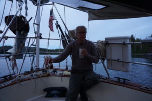
There may be nothing so refreshing on a hot summer day as sailing slowly across the face of a glacier, catching the chill breeze on your face. This we did in Glacier Bay National Park during the past week. We were very fortunate to have several days of clear sunny weather in what is often a cloudy drizzly place. Glacier Bay is an amazing body of water running northward from Icy Strait for about 45 miles as the eagle flies to Muir Glacier. The water area includes over 600,000 acres and there is more than 1,000 miles of coastline. The entire park includes over 5,000 square miles, about the size of Connecticut.
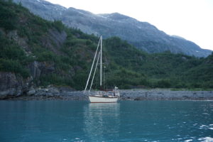
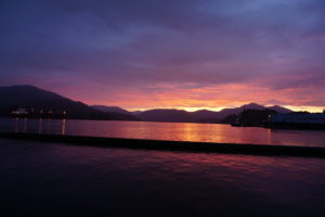
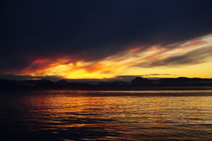
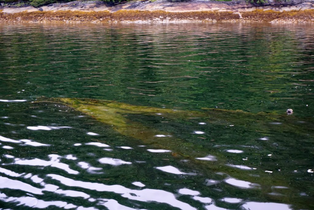
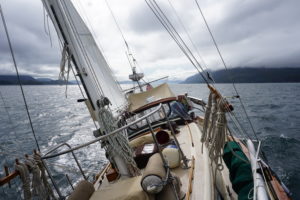
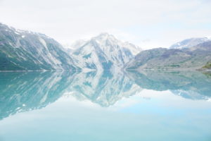 Reflections of Glacier Bay
Established in 1925 as a National Monument and as a National Park in 1980, the park limits the number of daily vessels to 2 cruise ships, 3 tour boats, 6 charter vessels and 25 private vessels. It seemed like we saw far fewer vessels than this each day. Our permit was one of only a few issued on short notice to vessels that will arrive no later than 48 hours after applying. We made it to the park Wednesday after a very nice sail from Juneau covering 65 miles in 13 hours, very good speed average for us, we had both wind and current helping us along. After turning north from Icy Strait we called park HQ on VHF to tell them we were entering and they notified us of the Whale Waters restrictions in effect that limit vessels’ speeds and excludes certain areas from entry. Indeed we saw multiple whales as we turned into Bartlett Cove and had to alter course to keep our distance from them.
Thursday morning we rowed ashore to register and attend the required orientation session. We also had breakfast at Glacier Bay Lodge and checked out the exhibits including the reconstructed skeleton of “Snow”, a pregnant whale killed in a collision with a cruise ship in 2000. To say she was a big-boned girl would be an understatement.
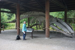 Bones of “Snow”, may she RIP.
Then we headed north, dodging whales and a cruise ship in the Sitakaday Narrows. On the way to our planned anchorage we went by South Marble Island where vessels are not allowed closer than 100 yards. We had enough wind to sail slowly at about 2 knots and shut down the motor. We had thought the island was a bird sanctuary or rookery, and it was, but the larger surprise were the Stellar Sea Lions. Apparently immature and unsuccessful male sea lions congregate here. These animals can grow to 2,000 pounds. We saw hundreds of them and they were noisy and acting grouchy with each other, pushing and shoving. It was utter cacophony, we could still hear them over a mile away as we headed off.
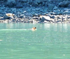
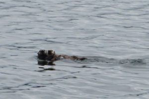 Mama sea otter and pup
 One of many islets thronged with sea lions.
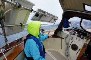
Friday we weighed anchor and went to leave our nice little cove only to run into a blockade. Patrolling back and forth across the entrance were a group of 3-4 whales. We had enough breeze to barely make way under sail so we shut down the engine and waited for a chance to get out. It was like trying to cross a freeway with the big rigs going 4 MPH while you’re going 2 MPH.
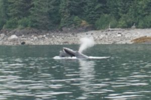 Humpback spouting off.
We made for Wachusett Inlet because this was the last day it would be open to motorized vessels for the rest of the summer. Beautiful scenery, glaciated mountains, turquoise waters, puffins and porpoises. At the outlet of a stream we saw a grizzly bear sitting on his haunches watching the water. A patient little fisherman he was, he’d wait for a salmon to head upstream then wade in behind it and grab it. Then he’d carry it up to the tall grass and about 10 minutes later come back to fish some more.
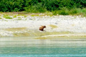 Patient fisherman
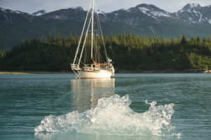 Bergy bit floating by Tarani at Wachusett anchorage.
That night we anchored just outside the closure boundary in a little unnamed cove and watched the parade of bergy bits go floating by with the tidal current. Next day we made it to Muir Glacier although it was high and dry, no longer a tidewater glacier.
Most of the glaciers in the park are receding and thinning. The advance and retreats of the glaciers here are well documented. Back in the 17th and early 18th century the Tlingit Indians had to abandon their settlements due to rapidly advancing ice associated with what is known as the Little Ice Age. In 1794 the entire bay was filled with ice when Vancouver visited in HMS Discovery. A hundred years later John Muir was able to visit guided by Tlingits. Today the remaining tidewater glaciers are Johns Hopkins, Lamplugh, Margerie and McBride. Of these only Johns Hopkins is advancing and thickening, although Margerie is considered stable. While global warming is definitely implicated in the rapid retreat of mountain glaciers, the factors influencing tidewater glaciers are more complex.
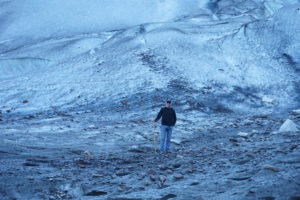
On Saturday we made it to Reid Inlet and after anchoring went ashore and checked out the glacier up close. We walked up along the north shore but at the glacier were blocked from getting to the beached snout by a rushing torrent of muddy water coming out from under the glacier at its edge. We scrambled uphill a few hundred feet and were able to step onto the glacier itself. We went up a couple hundred feet for a great view looking out over the bay.
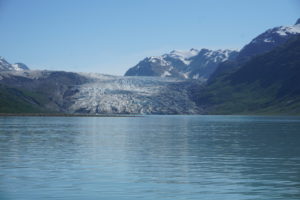 Reid glacier
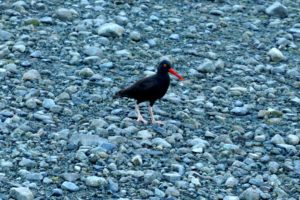 Oyster Catcher
Getting close to the glaciers with boats is tricky. The charts are not accurate because things change from year to year, the mudflats and deltas are in continual flux. The depth sounder is unreliable because of the turbidity. At one point at the Muir Glacier we inched our way forward, closer and closer to the exposed mud but not knowing when we’d run aground. When the depth sounder seemed to start working again and showed 20 feet we tried to anchor but without success. We used our lead line to try to sound the bottom old-school fashion but ran out of line at 60 feet. Faced with an uncertain bottom and with a tang of crew mutiny in the air we gave up and retreated.
 Tarani on ice!
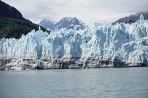
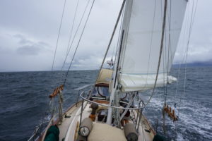
Sunday we got up early and motor-sailed up to Johns Hopkins Glacier, dodging bergs as big as our boat. Cruise ships are prohibited from entering this inlet and we had the place to ourselves for an hour or two. Words fall short in trying to describe this experience. We drifted about 1/4 mile off the glacier with the motor off. Loud cracks and booms echoed off the mountains and water. Gulls wheeled and cried and dove for fish. Seals were hauled out onto pack ice about 1/4 mile away on each side. A fresh salty fishy tang was in the air and the sun was rapidly burning away the remnants of the morning mist. We could hear avalanches behind the face as the crevasses and impossibly lofty and tilting peaks rearranged themselves. There was a dynamic tension that you could feel as pressure built. Eventually a chunk or slab of the face would collapse. You would see it before you could hear it or feel the percussion in your chest. Tons of snow and ice falling into the water and sending up a mega splash and a mini tsunami. The swells that reached us were impressive but manageable. We spent hours here, much longer than most boats that arrived and left. We exhausted the battery on our camera in our efforts to capture the majesty and wonder of it all. We recharged it from the well-supplied solar panels while we sailed back and forth but we never got the perfect picture. Eventually as the tide turned we found the pack ice closing in on us and sadly knew we had to go.
 Johns Hopkins glacier not Johns Hopkins U. where our daughter is.
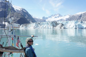 Karen likes glaciers!
We motor-sailed up to a little nook behind Russell Island and in the shelter of an unnamed islet. As usual when we’re approaching an anchorage Karen goes forward to prepare the anchor. This was when she saw something swimming in the water, it was a grizzly swimming back from the islet, only his massive brown head above the water. He hauled himself out on the rocky shore, shook himself like a dog and with a glance over his shoulder at us ambled off into the trees. Wow.
 Grizzly taking a dip on a hot day.
At Margerie Glacier next day we had many bergs but no real pack ice or seals and more room to sail. Here we sailed back and forth enjoying the experience. At any given time we’d have 1-2 vessels with us. When the cruise ship Noordam arrived we communicated with the bridge as to what his intentions were and to make sure our sailing would not interfere. They basically position about 0.3 miles from the face and spin 360 degrees to give everyone a chance to see what they came so far to see. We hoped but weren’t sure that they enjoyed seeing a little sailboat in some of the pictures.
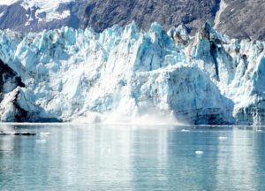 Glacier calving
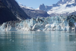
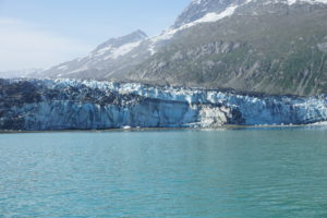
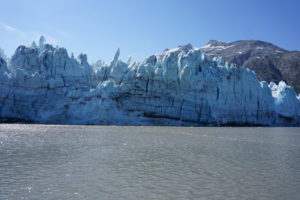 Margerie glacier
 Margerie
Nearby, but getting far less attention, was the Grand Pacific Glacier. This girl does not appear to be in the water anymore but she is huge. She’s very dirty, covered in brown and black because she’s been grinding away at the earth. Two miles wide and 34 miles long she is slowly receding towards the Canadian border only a half-mile away. She’s the Grand Dame of the place. Again we spent hours here until everyone else left. We wandered over to a little cove only a mile south of the glacier with the though of anchoring there for the night. It was however, exposed to the direction of the forecast wind and also to drifting bergs should the winds or tides push them that away. Also, the water was again highly turbid and the depth sounder was acting freaky. We bailed and headed south, back to the safety of the cove we’d been in the night before.
The sun was still warm and we had a couple hours to cruise so we hung our bed linens out to air and took solar showers on deck. After refreshing ourselves we looked back over our shoulders to get a last look at our glaciers and it was then we noticed a little nook just mile or so behind us. Checking the chart we found that, no surprise, this little cove had no name but it looked well protected and if we could find shallow enough water to let out enough anchor without ending up on the beach it might work. We swung around and found a special little place. No name, not mentioned in any guide books, and with no one around. This is the best part of cruising!
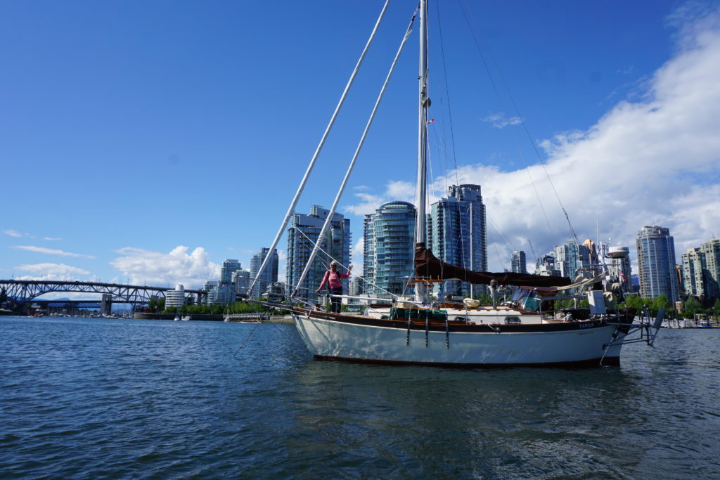
 Tarani at anchor north of 59 degrees, Tarr Inlet.
The next morning we knew it was time to get going when the wake from a large cruise ship headed into the glaciers rocked our boat. Up anchor and away. An hour or two later we were on course to head south when we glanced over to Lamplugh glacier and though it looked like it had been calving so, even though we’d gone by it before, we deviated course to check it out. Just then the big cruise ship, Crown Princess, was coming around the point behind us after their visit to the Tarr Inlet glaciers. Many large bergs were floating around and the cruise ship slowed to navigate. The sight of the large vessel right off our stern was pretty impressive. The officer on duty contacted us and advised their plan to stand off Lamplugh and do a spin. He assured me my course was fine and I let him know our intentions to sail once across the face of the glacier then turn and leave the view unobstructed for his passengers. He assured us not to worry, that we were part of the scenery. How nice.
 Lamplugh glacier
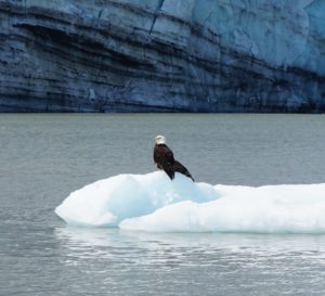 Eagle on ice.
That evening as we entered Blue Mouse Cove under sail again we had to luff up and wait for a whale to get out of the way. Today we came back to Bartlett Cove. We got fuel, showers, dined at Glacier Bay Lodge (Aramark) and took full advantage of the NPS wifi upstairs in the nook. As the clouds rolled in and the weather changed we realize our Alaskan adventure cruise was half over, but half still to go. We had made it up north of 59 degrees and now we must head south. Much fun still ahead but it will be hard to forget the joys and wonders of Glacier Bay. Next stop: Hoonah, just across Icy Strait. Weather forecast E 15 knots, 3′ seas, rain. Sounds nice!
Stay tuned! Sorry for the delay between posts, internet is not always available up here, and that’s a good thing!
Consider subscribing for notification of new posts. Also, comments always welcome. Peace out.
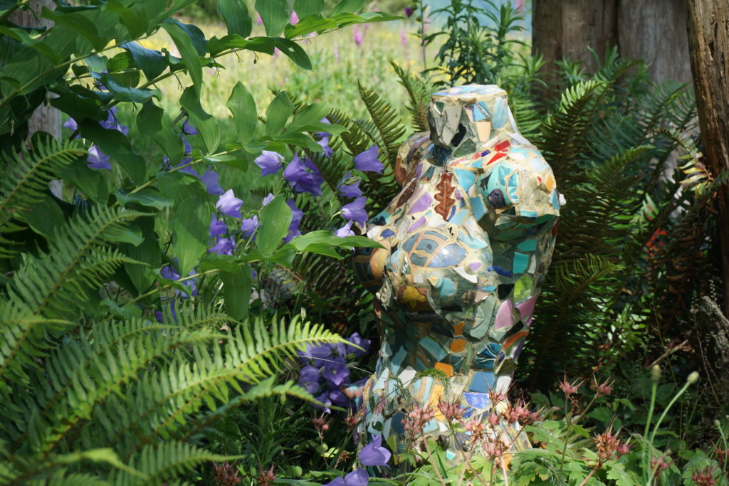
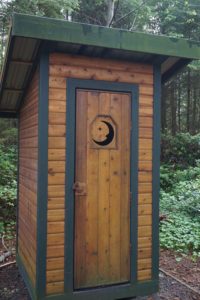 One Pretty Potty!
 Here kitty kitty.
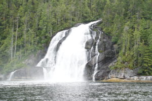 Kynoch Falls, up Mathieson Channel
 Absolutely beautiful Kynoch Inlet.
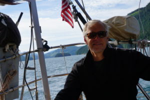
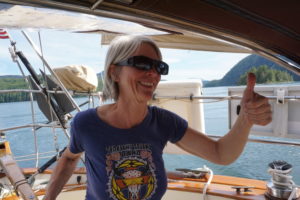
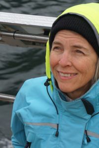 Karen is always sunny.
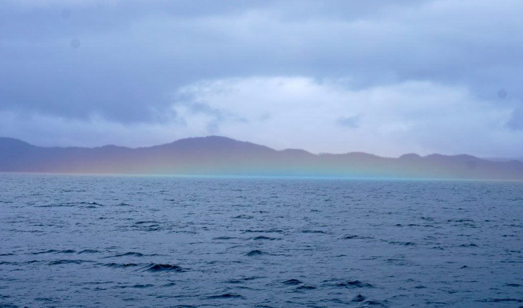
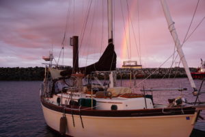 Rainbow indicates where I throw all my gold.
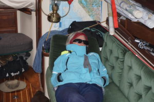
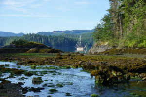
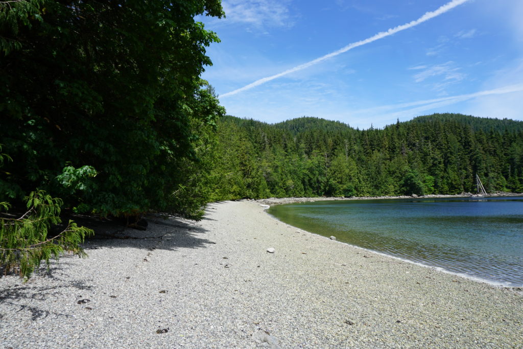
 Fury Cove, off Fitz Hugh Sound
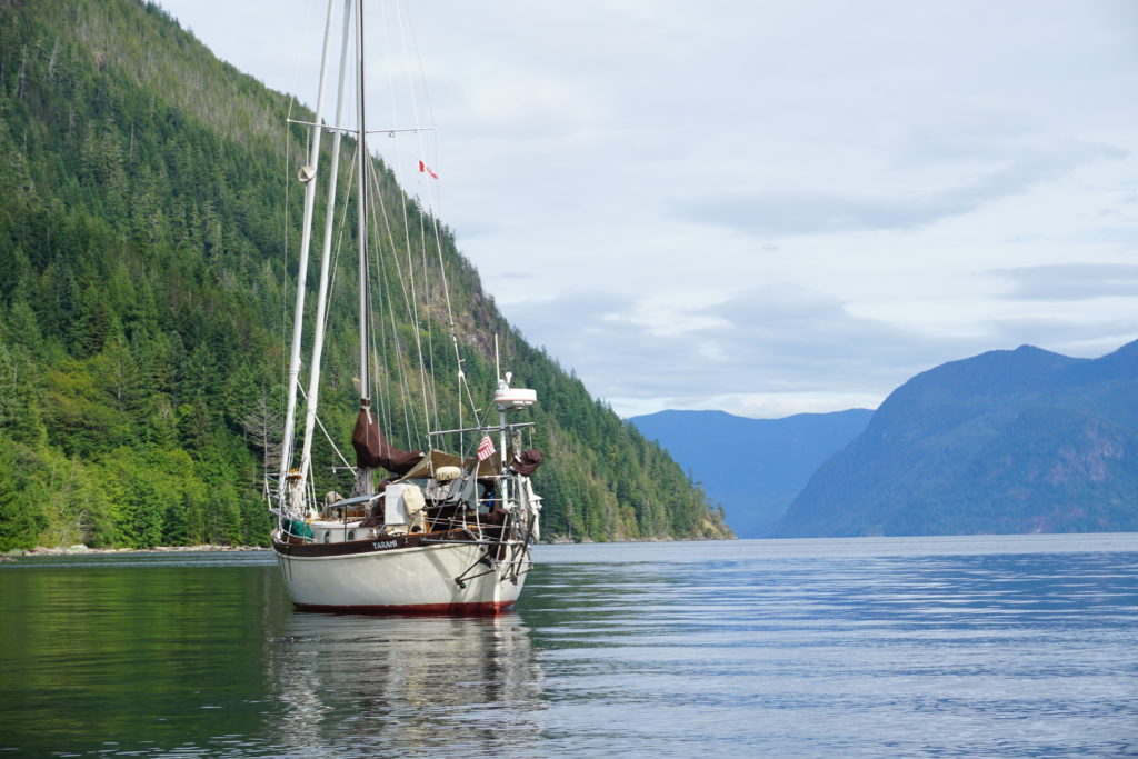 Frances Bay, looking towards Pryce Channel. 3 June 2016
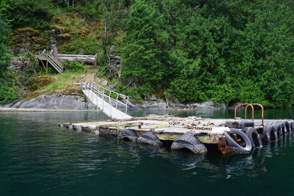
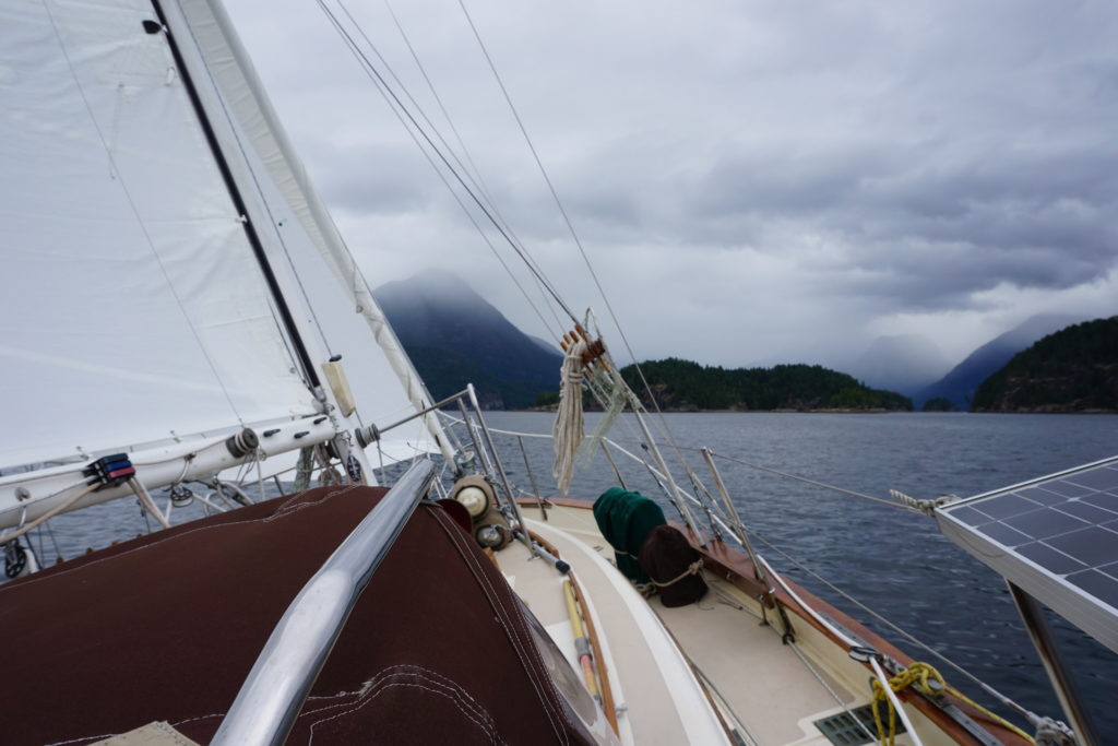 Sailing in Desolation Sound, 2 June 2016.