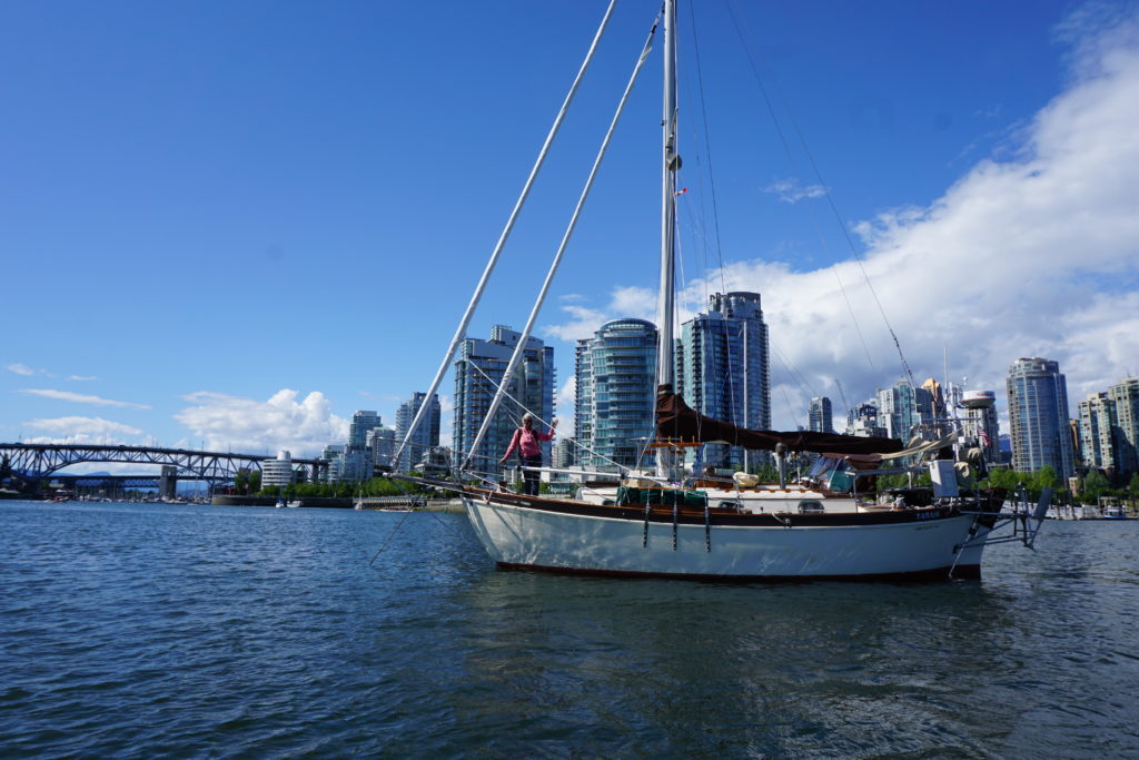
Pacific Northwest cruisers use multiple references as they plan their travels through these waters. Tide and current tables as well as charts and weather reports are the basics. Beyond this are the “Sailing Directions” and guidebooks that describe different anchorages and help you discover interesting places to visit along the way. The different guidebooks often offer similar descriptions of places. The similarity between guidebooks is not surprising if you allow that the various authors must be reading each others offerings.
Recently I was intrigued by a contradiction between two of the guidebooks. We had just left Windy Bay on Sheep Passage and were making for Hiekish Narrows. The Narrows can run up to 5 knots, north on the flood, south on the ebb. I wanted to make sure we’d be going with the flow.I also glanced at the information for nearby Carter Bay, the site of one of the more significant shipwrecks of its era. At 1:00 a.m. on August 26, 1909, the steamship Ohio went down there but one guidebook said the quick action of the captain saved all aboard while another guidebook said four had died. Hmmm. It was my understanding that those who drowned in shipwrecks back then didn’t simply die, they “perished”. So what really happened back on that dark and stormy night? We decided we had a mystery to solve and first hand investigation of the site was the first step.
As we turned north into Carter Bay the fog cleared a bit and we were confronted by a large cedar tree in the middle of the bay. The chart showed the symbol for a wreck up near the beach but did not help us understand this tree. It was upright and about 30 feet tall, its branches were rusty brown and it looked pretty dead. Initial impression was of an ominous sign that we were entering dangerous waters. Most sailors avoid areas where trees are sticking up. The closer we got to the tree the more nervous the first mate became. The depth sounder showed us to be in 90 feet of water but this did not reassure her much. We crept past the tree which I guess was some massive snag that had been floating around and ran aground in the bay with its rootball on the bottom and 90 feet of its trunk underwater. Quite impressive.
We proceeded at dead slow speed, the mate on bow watch and the depth sounder dropping quickly. We could see the mud and rocks of the beach clearly ahead and a barnacle-encrusted something on the water about twenty feet ahead of us. We were distracted by a bear on the beach. Then a large-sized eagle screeched to us from his perch in a snag. When we were about in 10 feet of water we could see the bottom and our fear of grounding was quite high. It was then that we realized that we were almost on top of the wreck.
We could make out a ghostly triangular shape in the water next to us that we had to be the uppermost portion on the bow angled up towards the surface as though it was trying to surface for a gasp of air at the next low tide. The barnacled thing sticking out of the water wasn’t right at what might have been the bow but was not far back, maybe it was a stanchion.
The SS Ohio was launched in1872 and was at that time one the largest iron ships ever built. She was 343 feet long and 3104 gross tons. For 25 years she crossed the Atlantic on the Liverpool-Philadelphia route but with the onset of Gold Rush fever she was sold and transferred to the west coast to run between Seattle and Nome. In those days the passage would have taken 9-12 days and cost $75-$100. Interestingly, two years before she met her fate at Carter Bay she hit an iceberg in the Bering Sea. She remained structurally intact but 75 passengers panicked and jumped overboard, Four drowned before they could be rescued. Four perished that is.
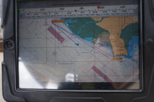
In 1909 before widespread aids to navigation were placed, before radar and GPS and modern radios, the ships in this tricky area of the Inside Passage followed a custom whereby southbound ships would use Tolmie Channel that runs along the west side of Sarah Island, while northbound ships would use Finlayson channel. At the northern tip of Sarah Island, just past Hiekish Narrows the two channels join together as Graham Reach. The Ohio was going up along the east side of Sarah I. and had to make a sharp turn to port, just where Sheep Passage comes in from the east, and then line up to go through the Narrows, one side or the other of Hewitt Rock (see detail below).
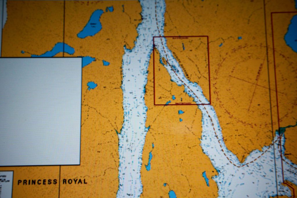
Above: Running roughly N-S, on the left is Tolmie Channel, on the right is Finlayson, with Sheep Passage feeding in from the right. Carter Bay, site of the wreck, is just above the lower right corner. Detail below left. symbol for wreck in the upper right corner.
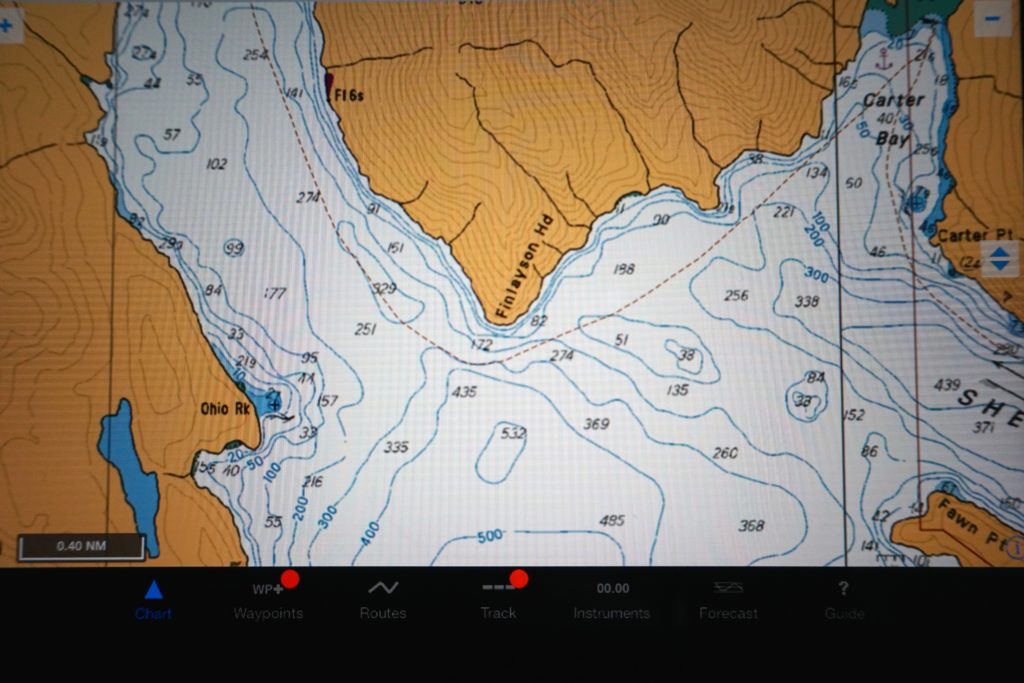
But the Ohio was running on what was reported to be a very dark night. High winds out of the southeast, heavy rain falling. The Captain (whose name I have not learned yet) cut the corner too closely and struck on an uncharted rock that is now named Ohio Rock. Apparently he rapidly understood his situation and he gave the order to steam at full speed for Carter Bay. At least one reference indicated he did not make it as the boilers exploded when they became filled with seawater (evidence indicates he did make it). One can imagine the state of the passengers, most of whom were probably quite asleep. It is reported that some passengers jumped but others were transferred ashore by the Ohio’s boats. And the marooned were evacuated with the aid of a fishing boat, the Kingfisher, and the steamers Humboldt and Rupert City.
And yes, four people perished. The story is that some crew stayed behind to aid a sick soldier. The soldier was Dock A. Hayes. The three crew were QuartermasterAlbert Anderson, Wireless Operator George Eccles, and Purser F.J Stephen. And that for me, that tale of professional heroism, is thus far the big story of the wreck of the Ohio.
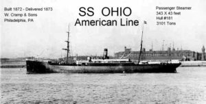
Above: In her prime. Note the masts for auxilliary sails.
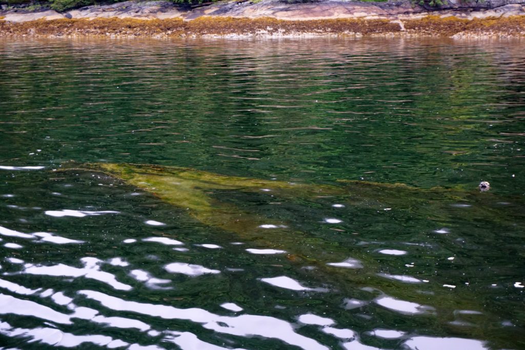
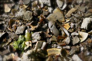
Wreck of the SS Ohio, photo taken at 0830, 17 June 2016. 2.5 hours after a low tide at nearest tide station Bella Bella of 3.6 feet.
We circled the wreck then headed back out. The bear wandered into the woods. A last screech from the Eagle and we creeped past the proud but dead cedar tree who was probably about the same age as the Ohio. This mystery remains unsolved.

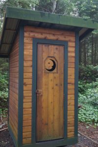 One Pretty Potty!
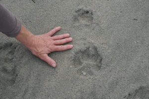 Here kitty kitty.
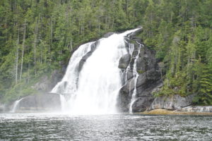 Kynoch Falls, up Mathieson Channel
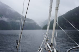 Absolutely beautiful Kynoch Inlet.
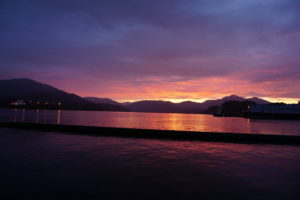
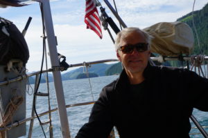
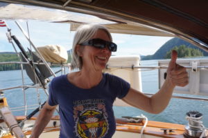
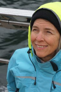 Karen is always sunny.
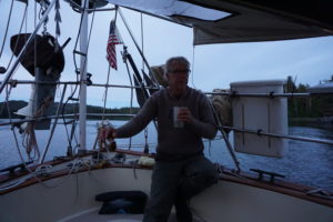
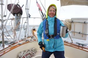
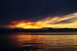
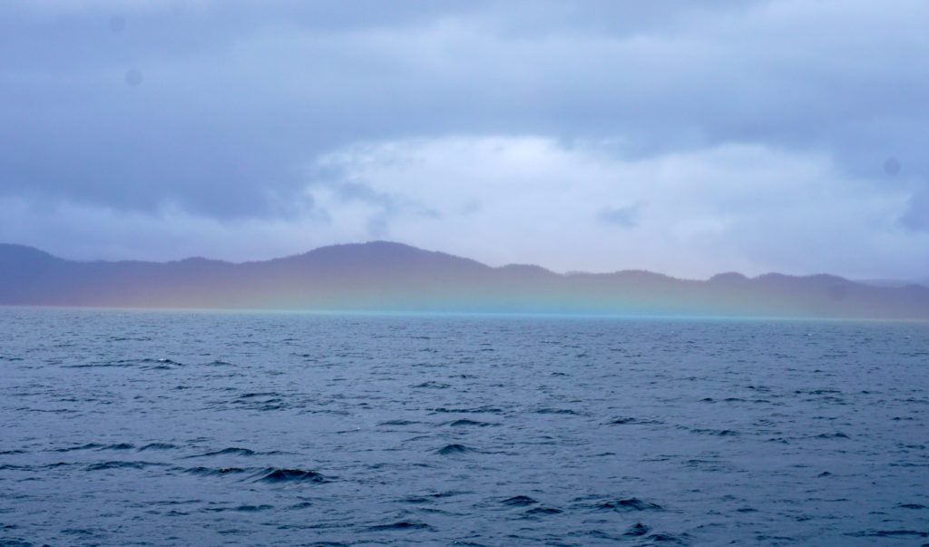
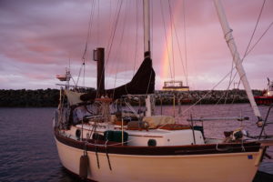 Rainbow indicates where I throw all my gold.
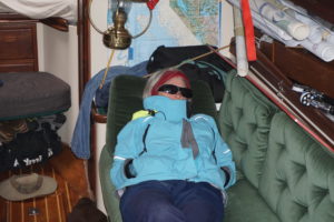
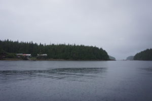
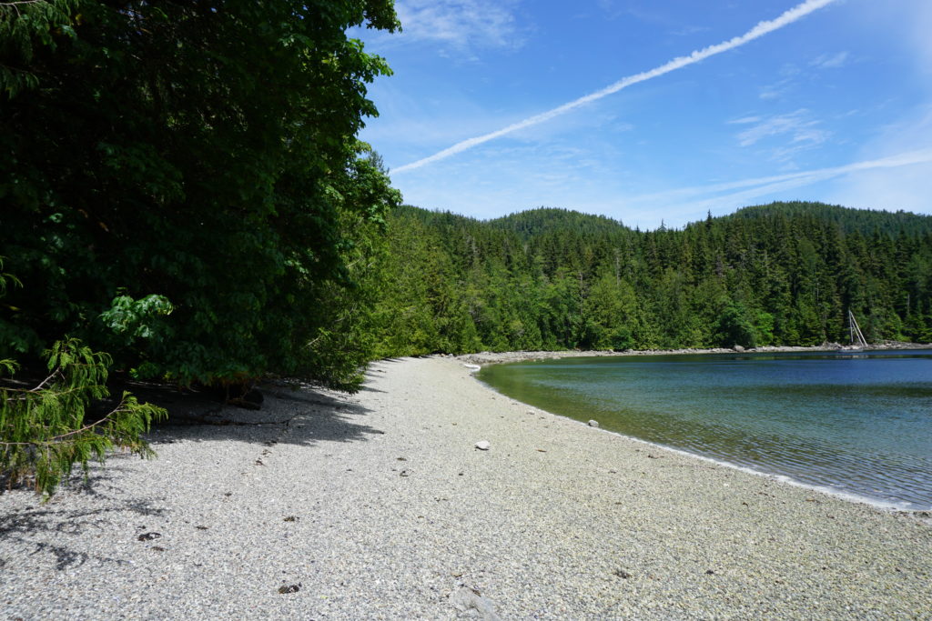
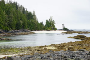 Fury Cove, off Fitz Hugh Sound
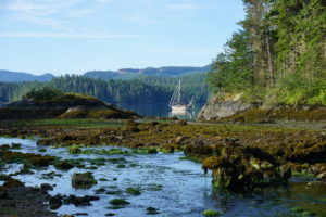
 Frances Bay, looking towards Pryce Channel. 3 June 2016
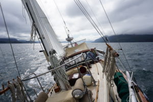
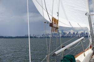
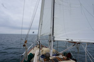
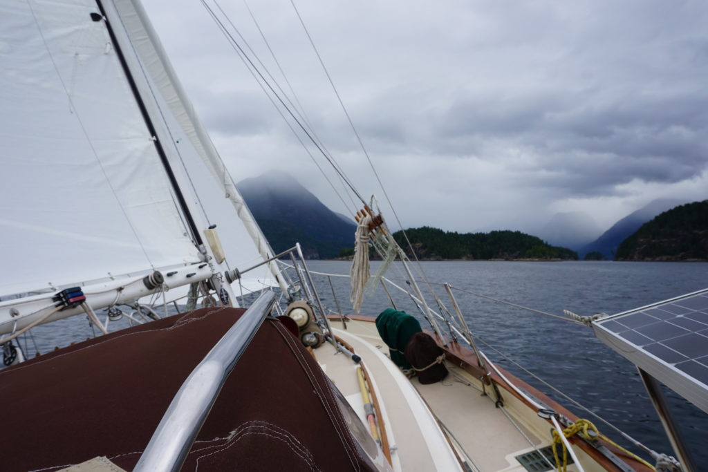 Sailing in Desolation Sound, 2 June 2016.
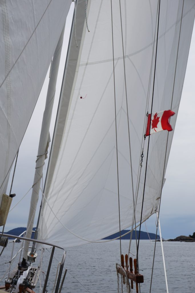
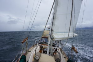
 But fun sailing upwind!
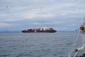
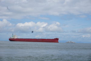
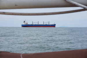
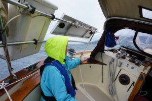
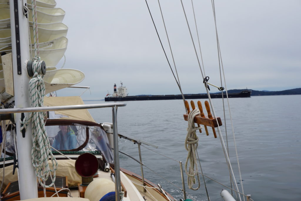 When crossing Boundary Pass near Turn Point monitor and be ready to communicate on Victoria Traffic Channel, VHF 11. Closest Point of Approach with this loaded vessel outbound for Japan was less than one mile. Since our course was crossing his bow we called the vessel, provided our course and speed, and asked for approval of our plan to cross his path. (Objects in picture may actually be much bigger than they seem to appear to be, even when they appear to be humongous.)