Stumbling into The Badlands


We wandered southeast from Durango, Colorado and crossed into New Mexico as it started to get dark. After Aztec and Bloomfield we started to get hungry. The map indicated about 80 miles across empty high desert to Cuba, without an indication of a developed campground. Then, seemingly out of nowhere there was a little brown sign for Angel Peak Scenic Area, it even had the tent symbol for camping. We turned off onto a dirt road. hard-packed and heavily rutted.

It was dark and windy, scrub brush showing intermittently in our headlights on the ochre sand of the high desert. After a couple miles we came to a little dirt pull out marked Badlands Overlook but we saw one pickup with a camper there and so we kept going. All the rest of that night we did not see sign of another vehicle.It was dark as could be but it seemed there was a little rise to our left as we crawled along. We saw another sign indicating the campground somewhere up ahead but after 5-6 miles and passing a couple other picnic areas we decided that the Castlerock Overlook would suit us just fine. There was a little picnic table and a shelter built over that, it was nicely done. We shut off the engine and set up camp.

In a VW “Westy” camper setting up camp, means raising the pop top if you want some head room and pulling the curtains shut if you want some privacy. Also, since we were hungry we had to pull out the frying pan and set it on the stove top. It was too windy outside to worry about a fire so I didn’t try to find any firewood but I did pop another kind of top, the one on my beer, and stepped outside to see what I could see. First thing I “saw” was a noise, a sizable diesel engine not far away droning away at its labor. I thought this might be related to all the oil and gas development infrastructure we’d seen driving in, but wasn’t sure. I walked a few feet away from our bus and I could see there was a definite drop off, lights were twinkling in the distance and far below. It seemed we were on the edge of a bluff looking down on the San Juan Basin. The clouds were dark and low, no stars and no moon. It wasn’t very cold but there was a lonesome feel on the breeze..

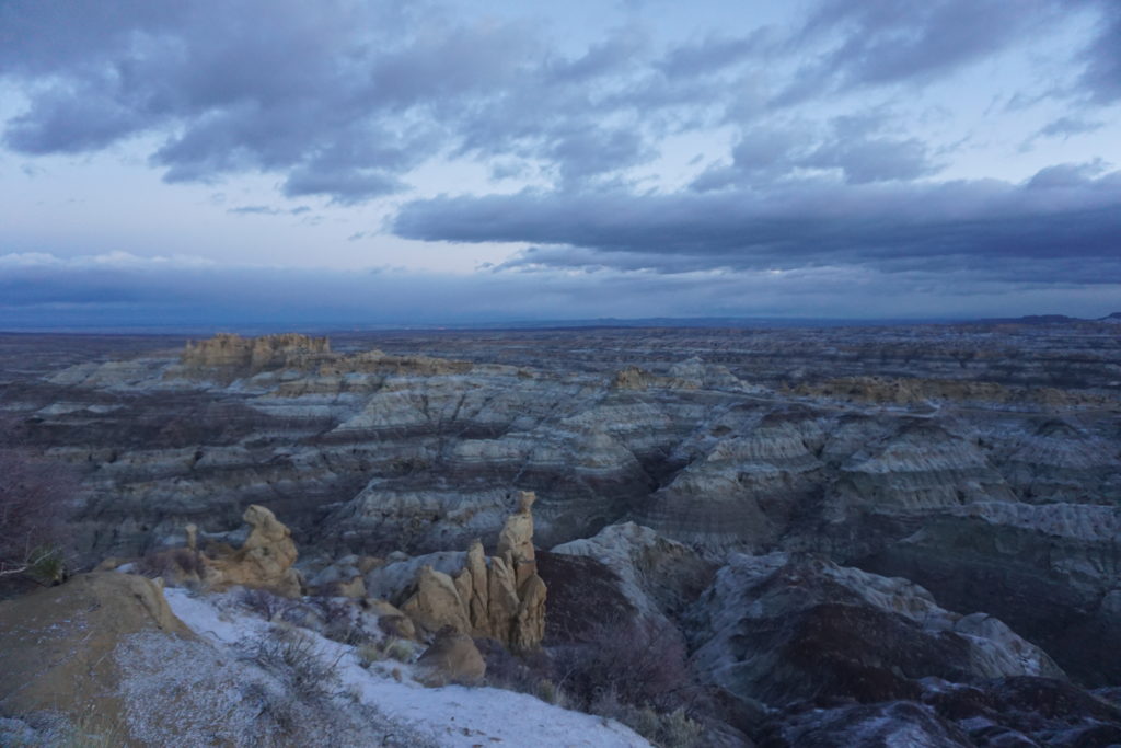
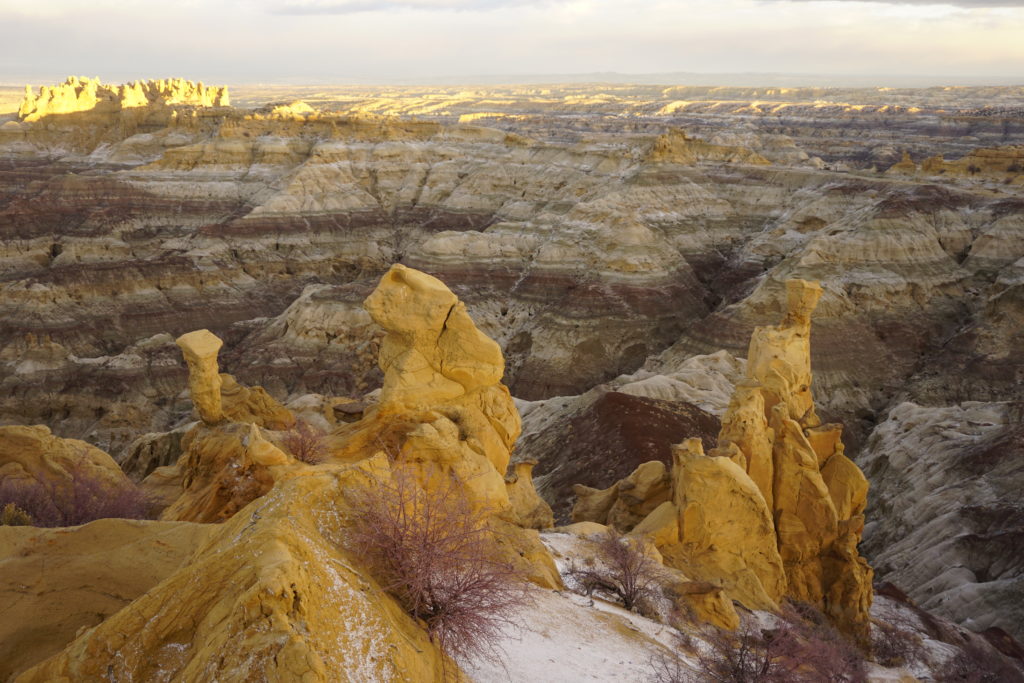
The rain came heavy and sudden a little after midnight preceded by thunder and lightning as a cold front moved through. After a little while it got quiet again and I drifted back to sleep. Early in the morning I awoke and thought not for the first time that I should upgrade to a warmer sleeping bag one of these days. I got dressed and stepped outside onto the crunch of a dusting of fresh coarse snow. The wind was biting but I walked into it towards the drop off and saw a Badlands landscape. The sun was not quite up but I could tell there were many bands of different colored rock stacked up in other worldly towers and pyramids and indescribable shapes. The sight and the wind was almost enough to take my breath away but when I turned back to the van I glanced up towards the light in the east and saw something I’d never seen before. There, circling high above in a tight gyre, were two enormous birds. I had recently spent several months in Alaska and British Columbia and know what eagles are. These were much bigger. I wondered if they were condors but I had never heard there were condors in New Mexico.
dsc04822


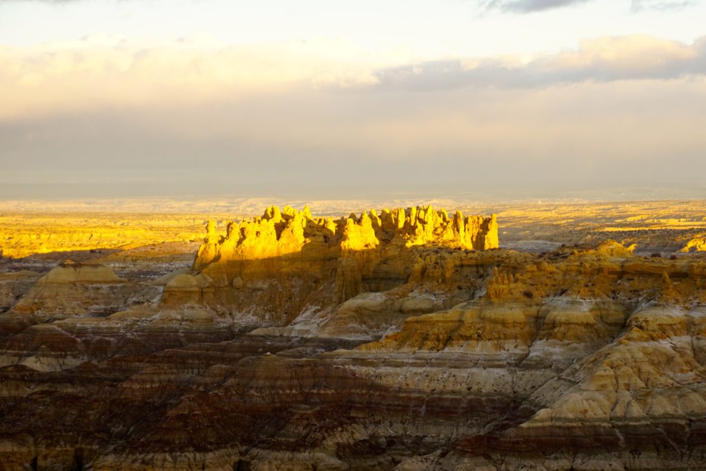
By the time I had retrieved my camera from the van they were gone, and I wondered, had I really seen them? However, the sun was starting to light up the rock formations and I wanted to get some pictures so I put the condor conundrum out of mind. I did keep looking over my shoulder, however, I didn’t see them again. Some time later though, my wife Karen came to find me and when she did she excitedly told me about this enormous bird she’d seen, far bigger than an eagle she said. I didn’t say anything but pointed out to her the glowing vertical spires now alit by the rising sun and contrasted against the shadowy gray and lavender layers below. At that moment all questions of what was real fell away leaving the experience of the moment. We had stumbled into the magic of the Badlands.
dsc04833 dsc04838

Without realizing it we had also wandered into the San Juan Basin, one of the most productive natural gas areas in the country. Here right in the midst of unreal beauty the machinery of extraction was ceaselessly pumping and lifting the precious gas up from subterranean rock to the surface for processing and transportation to all us energy hungry Americans. Extending from Durango, CO in the north and down almost as far as Albuquerque, the San Juan Basin encompasses some 4600 square miles. It contains the 2nd largest proven gas reserves in the U.S. and produced some 750 billion cubic feet of natural gas in 2013. In 2001 the region produced about 30% of the nation’s consumption but this dropped to about 4% in 2015 due to cheaper gas extraction from the Marcellus region.

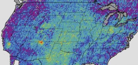
The San Juan Basin is also the location of a huge hot spot of methane pollution discovered in 2014 by NASA researchers. Methane makes up about 95% of natural gas and is colorless and odorless (the stinky odorant, mercaptan, is added later in the production process) and it dissipates rapidly into the atmosphere making detection with human senses difficult. Methane is about 80 times more potent than CO2 in short-term global warming. This was this an incredibly important scientific finding.
methaneleak-sjb
Note the hot spot over NW New Mexico

According to a 2016 study published by the Center for American Progress, oil and gas producers leaked the CO2 equivalent of 14 coal-fired power plants over a year period. NASA researchers zoomed in to analyze where exactly the leaks were coming from and analysis of this data suggests only 11 companies account for half the problem. Wells in the San Juan Basin have the highest amount of emissions per well.(https://www.americanprogress.org/issues/green/reports/2016/06/20/139709/the-whos-who-of-methane-pollution-in-the-onshore-oil-and-gas-production-sector/) It should be noted this type of science is exactly the thing that Republicans in congress are working to quell. The image of extinction-threatened ostriches with their heads buried in the high desert sand comes to mind.

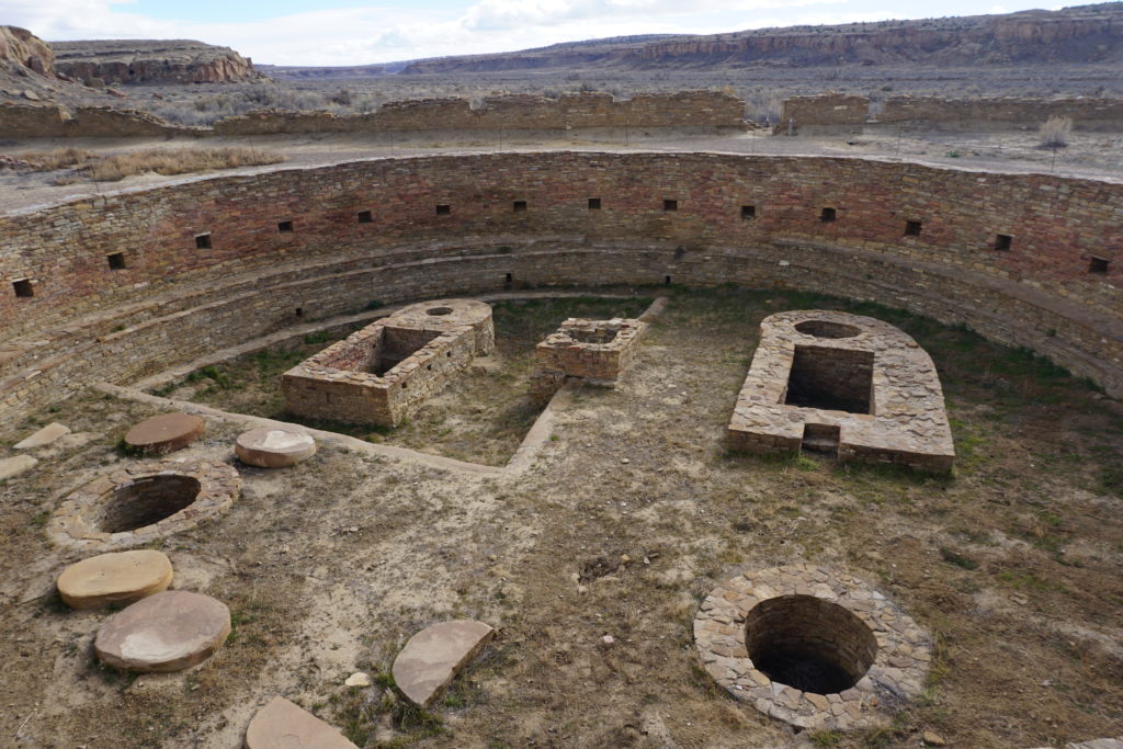
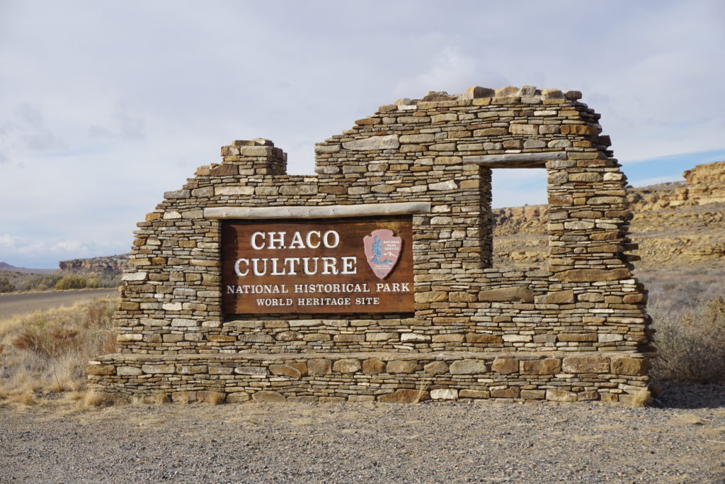
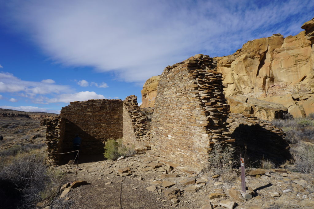
Heading south from the AngelPeak badlands you come very shortly to Chaco Canyon Culture National Historical Park. We’d never been here, hadn’t even heard of it so of course we wandered out that way. After enduring some of the worst washboarded roads I’ve been on we finally made it. There, carefully uncovered by archeologists are the ruins left from a people that thrived here for more than 400 years, from about 800-1200 A.D. It is thought that they died off or dispersed due to extended drought conditions. Although the people were gone the lesson left in that sandy, dry lonesome place remains for all to see if you take the time.
dsc04856 dsc04865

dsc04870

While just a few miles up the road modern humans experiment with hydraulic fracturing and technology to extract every last drop of oil and gas, here at Chaco Canyon a great civilization exceeded the capacity of its environment to sustain it. Climate deniers in congress are working to shut down the science that warns us of impending mega drought conditions across the southwest, and to remove cumbersome regulations hindering fossil fuel developers. Meanwhile in dusty, windy, abandoned places like Chaco we can hear the echoes of our ancestors whispering a warning.
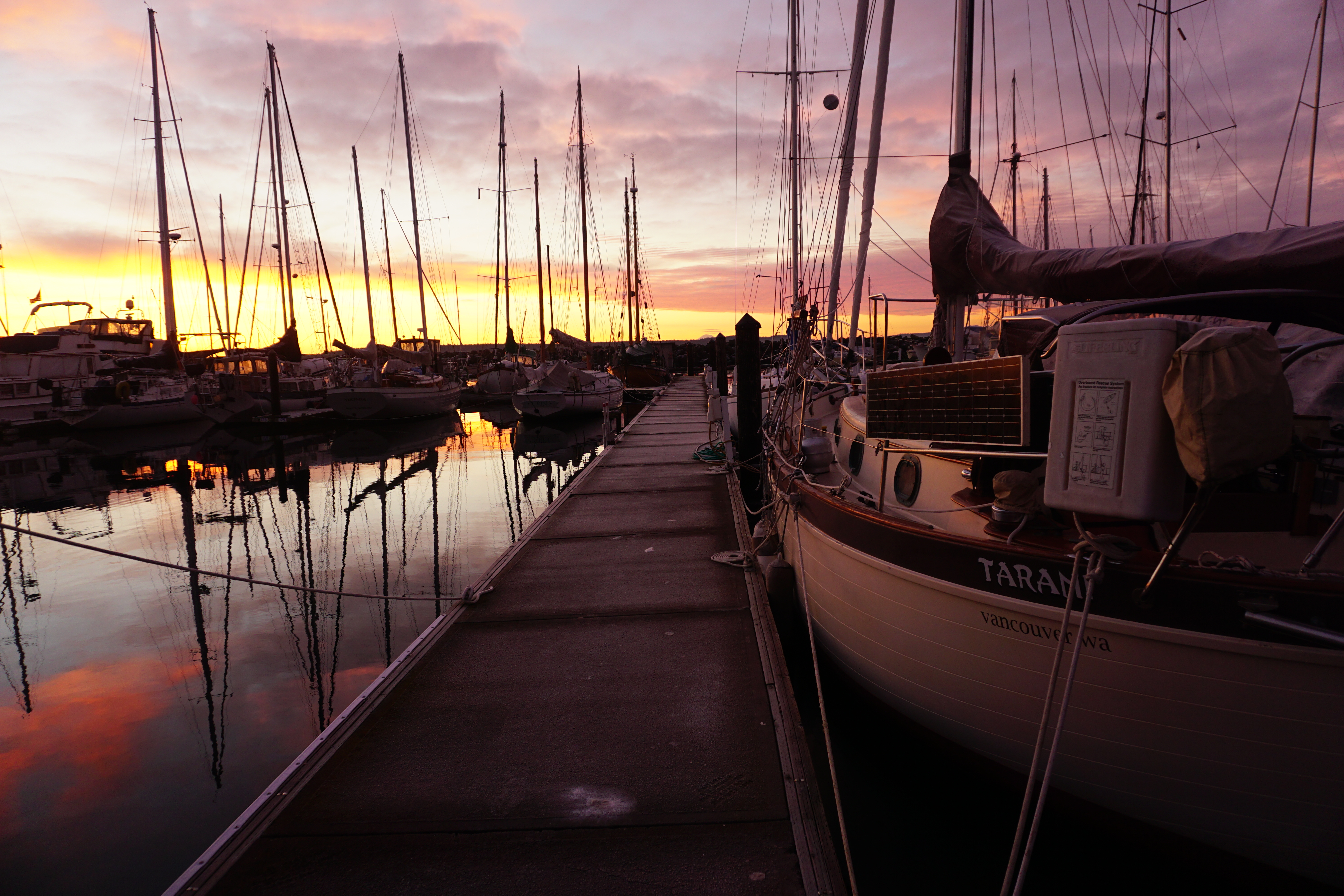
Glacier Bay


There may be nothing so refreshing on a hot summer day as sailing slowly across the face of a glacier, catching the chill breeze on your face. This we did in Glacier Bay National Park during the past week. We were very fortunate to have several days of clear sunny weather in what is often a cloudy drizzly place. Glacier Bay is an amazing body of water running northward from Icy Strait for about 45 miles as the eagle flies to Muir Glacier. The water area includes over 600,000 acres and there is more than 1,000 miles of coastline. The entire park includes over 5,000 square miles, about the size of Connecticut.

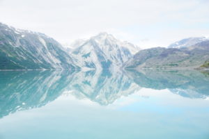
DSC02462 Reflections of Glacier Bay

Established in 1925 as a National Monument and as a National Park in 1980, the park limits the number of daily vessels to 2 cruise ships, 3 tour boats, 6 charter vessels and 25 private vessels. It seemed like we saw far fewer vessels than this each day. Our permit was one of only a few issued on short notice to vessels that will arrive no later than 48 hours after applying. We made it to the park Wednesday after a very nice sail from Juneau covering 65 miles in 13 hours, very good speed average for us, we had both wind and current helping us along. After turning north from Icy Strait we called park HQ on VHF to tell them we were entering and they notified us of the Whale Waters restrictions in effect that limit vessels’ speeds and excludes certain areas from entry. Indeed we saw multiple whales as we turned into Bartlett Cove and had to alter course to keep our distance from them.

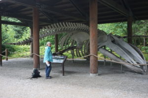
Thursday morning we rowed ashore to register and attend the required orientation session. We also had breakfast at Glacier Bay Lodge and checked out the exhibits including the reconstructed skeleton of “Snow”, a pregnant whale killed in a collision with a cruise ship in 2000. To say she was a big-boned girl would be an understatement.

DSC02053 Bones of “Snow”, may she RIP.

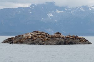
Then we headed north, dodging whales and a cruise ship in the Sitakaday Narrows. On the way to our planned anchorage we went by South Marble Island where vessels are not allowed closer than 100 yards. We had enough wind to sail slowly at about 2 knots and shut down the motor. We had thought the island was a bird sanctuary or rookery, and it was, but the larger surprise were the Stellar Sea Lions. Apparently immature and unsuccessful male sea lions congregate here. These animals can grow to 2,000 pounds. We saw hundreds of them and they were noisy and acting grouchy with each other, pushing and shoving. It was utter cacophony, we could still hear them over a mile away as we headed off.

DSC02056 - Version 2 Mama sea otter and pup

DSC02164 - Version 2 One of many islets thronged with sea lions.
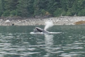
 

Friday we weighed anchor and went to leave our nice little cove only to run into a blockade. Patrolling back and forth across the entrance were a group of 3-4 whales. We had enough breeze to barely make way under sail so we shut down the engine and waited for a chance to get out. It was like trying to cross a freeway with the big rigs going 4 MPH while you’re going 2 MPH.

DSC02262 - Version 2 Humpback spouting off.

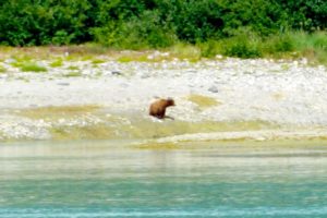
We made for Wachusett Inlet because this was the last day it would be open to motorized vessels for the rest of the summer. Beautiful scenery, glaciated mountains, turquoise waters, puffins and porpoises. At the outlet of a stream we saw a grizzly bear sitting on his haunches watching the water. A patient little fisherman he was, he’d wait for a salmon to head upstream then wade in behind it and grab it. Then he’d carry it up to the tall grass and about 10 minutes later come back to fish some more.

DSC02368 - Version 2 Patient fisherman

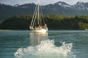
DSC02405 Bergy bit floating by Tarani at Wachusett anchorage.
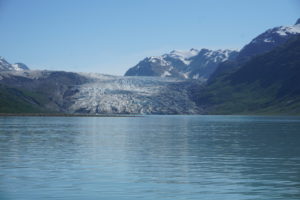
That night we anchored just outside the closure boundary in a little unnamed cove and watched the parade of bergy bits go floating by with the tidal current. Next day we made it to Muir Glacier although it was high and dry, no longer a tidewater glacier.

Most of the glaciers in the park are receding and thinning. The advance and retreats of the glaciers here are well documented. Back in the 17th and early 18th century the Tlingit Indians had to abandon their settlements due to rapidly advancing ice associated with what is known as the Little Ice Age. In 1794 the entire bay was filled with ice when Vancouver visited in HMS Discovery. A hundred years later John Muir was able to visit guided by Tlingits. Today the remaining tidewater glaciers are Johns Hopkins, Lamplugh, Margerie and McBride. Of these only Johns Hopkins is advancing and thickening, although Margerie is considered stable. While global warming is definitely implicated in the rapid retreat of mountain glaciers, the factors influencing tidewater glaciers are more complex.

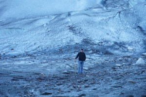
On Saturday we made it to Reid Inlet and after anchoring went ashore and checked out the glacier up close. We walked up along the north shore but at the glacier were blocked from getting to the beached snout by a rushing torrent of muddy water coming out from under the glacier at its edge. We scrambled uphill a few hundred feet and were able to step onto the glacier itself. We went up a couple hundred feet for a great view looking out over the bay.

DSC02578 Reid glacier

DSC02632

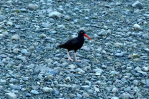
DSC02640 - Version 2 Oyster Catcher


Getting close to the glaciers with boats is tricky. The charts are not accurate because things change from year to year, the mudflats and deltas are in continual flux. The depth sounder is unreliable because of the turbidity. At one point at the Muir Glacier we inched our way forward, closer and closer to the exposed mud but not knowing when we’d run aground. When the depth sounder seemed to start working again and showed 20 feet we tried to anchor but without success. We used our lead line to try to sound the bottom old-school fashion but ran out of line at 60 feet. Faced with an uncertain bottom and with a tang of crew mutiny in the air we gave up and retreated.

DSC02449 Tarani on ice!

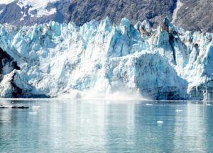
Sunday we got up early and motor-sailed up to Johns Hopkins Glacier, dodging bergs as big as our boat. Cruise ships are prohibited from entering this inlet and we had the place to ourselves for an hour or two. Words fall short in trying to describe this experience. We drifted  about 1/4 mile off the glacier with the motor off. Loud cracks and booms echoed off the mountains and water. Gulls wheeled and cried and dove for fish. Seals were hauled out onto pack ice about 1/4 mile away on each side. A fresh salty fishy tang was in the air and the sun was rapidly burning away the remnants of the morning mist. We could hear avalanches behind the face as the crevasses and impossibly lofty and tilting peaks rearranged themselves. There was a dynamic tension that you could feel as pressure built. Eventually a chunk or slab of the face would collapse. You would see it before you could hear it or feel the percussion in your chest. Tons of snow and ice falling into the water and sending up a mega splash and a mini tsunami. The swells that reached us were impressive but manageable. We spent hours here, much longer than most boats that arrived and left. We exhausted the battery on our camera in our efforts to capture the majesty and wonder of it all. We recharged it from the well-supplied solar panels while we sailed back and forth but we never got the perfect picture. Eventually as the tide turned we found the pack ice closing in on us and sadly knew we had to go.

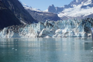
DSC02791 Johns Hopkins glacier not Johns Hopkins U. where our daughter is.
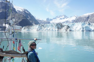
DSC02807 Karen likes glaciers!

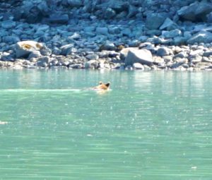
We motor-sailed up to a little nook behind Russell Island and in the shelter of an unnamed islet. As usual when we’re approaching an anchorage Karen goes forward to prepare the anchor. This was when she saw something swimming in the water, it was a grizzly swimming back from the islet, only his massive brown head above the water. He hauled himself out on the rocky shore, shook himself like a dog and with a glance over his shoulder at us ambled off into the trees. Wow.

DSC02942 - Version 2 Grizzly taking a dip on a hot day.


At Margerie Glacier next day we had  many bergs but no real pack ice or seals and more room to sail. Here we sailed back and forth enjoying the experience. At any given time we’d have 1-2 vessels with us. When the cruise ship Noordam arrived we communicated with the bridge as to what his intentions were and to make sure our sailing would not interfere. They basically position about 0.3 miles from the face and spin 360 degrees to give everyone a chance to see what they came so far to see. We hoped but weren’t sure that they enjoyed seeing a little sailboat in some of the pictures.

DSC02855 - Version 2 Glacier calving

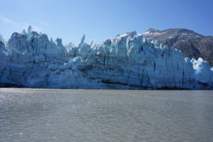
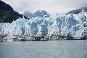
DSC03026 Margerie glacier

DSC02986 Margerie

Nearby, but getting far less attention, was the Grand Pacific Glacier. This girl does not appear to be in the water anymore but she is huge. She’s very dirty, covered in brown and black because she’s been grinding away at the earth. Two miles wide and 34 miles long she is slowly receding towards the Canadian border only a half-mile away. She’s the Grand Dame of the place. Again we spent hours here until everyone else left. We wandered over to a little cove only a mile south of the glacier with the though of anchoring there for the night. It was however, exposed to the direction of the forecast wind and also to drifting bergs should the winds or tides push them that away. Also, the water was again highly turbid and the depth sounder was acting freaky. We bailed and headed south, back to the safety of the cove we’d been in the night before.

The sun was still warm and we had a couple hours to cruise so we hung our bed linens out to air and took solar showers on deck. After refreshing ourselves we looked back over our shoulders to get a last look at our glaciers and it was then we noticed a little nook just mile or so behind us. Checking the chart we found that, no surprise, this little cove had no name but it looked well protected and if we could find shallow enough water to let out enough anchor without ending up on the beach it might work. We swung around and found a special little place. No name, not mentioned in any guide books, and with no one around. This is the best part of cruising!

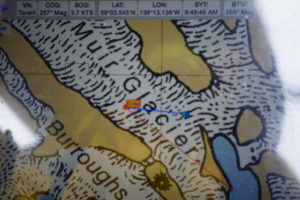
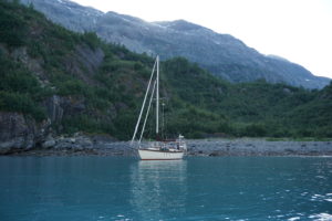
DSC03045 Tarani at anchor north of 59 degrees, Tarr Inlet.
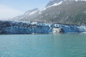
The next morning we knew it was time to get going when the wake from a large cruise ship headed into the glaciers rocked our boat. Up anchor and away. An hour or two later we were on course to head south when we glanced over to Lamplugh glacier and though it looked like it had been calving so, even though we’d gone by it before, we deviated course to check it out. Just then the big cruise ship, Crown Princess, was coming around the point behind us after their visit to the Tarr Inlet glaciers. Many large bergs were floating around and the cruise ship slowed to navigate. The sight of the large vessel right off our stern was pretty impressive. The officer on duty contacted us and advised their plan to stand off Lamplugh and do a spin. He assured me my course was fine and I let him know our intentions to sail once across the face of the glacier then turn and leave the view unobstructed for his passengers. He assured us not to worry, that we were part of the scenery. How nice.

DSC02648 Lamplugh glacier

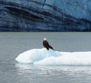
DSC03003 - Version 2 Eagle on ice.

That evening as we entered Blue Mouse Cove under sail again we had to luff up and wait for a whale to get out of the way. Today we came back to Bartlett Cove. We got fuel, showers, dined at Glacier Bay Lodge (Aramark) and took full advantage of the NPS wifi upstairs in the nook. As the clouds rolled in and the weather changed we realize our Alaskan adventure cruise was half over, but half still to go. We had made it up north of 59 degrees and now we must head south. Much fun still ahead but it will be hard to forget the joys and wonders of Glacier Bay. Next stop: Hoonah, just across Icy Strait. Weather forecast E 15 knots, 3′ seas, rain. Sounds nice!

Stay tuned! Sorry for the delay between posts, internet is not always available up here, and that’s a good thing!

Consider subscribing for notification of new posts. Also, comments always welcome. Peace out.

Definition of cruising

There are multiple ways to describe to friends what cruising is all about. One of the best definitions is that cruising means working on your boat in exotic locations. Well, our exotic locations only include Anacortes and Bellingham so far but when we arrived at each location we found the boat work was there waiting for us. Amazing. How cool is that?

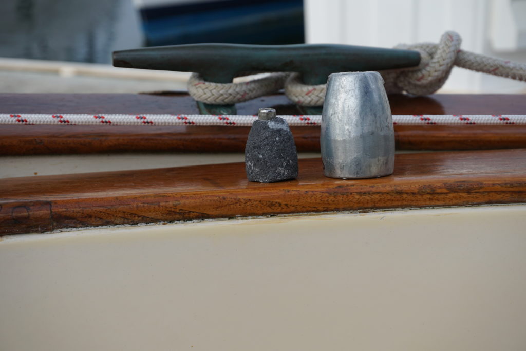
At Anacortes for example I had another look at the prop zinc. This is the little sacrificial piece that protects your propeller and drive shaft from electrolytic corrosion. I thought it looked okay but something was off. I had to mostly submerge in the chilly water to do the job but I’m glad I did. Plus I found out that after about 10 minutes in the water my hands and fingers don’t work so good.

DSC00386

Old one on the left, new one on the right.Lessons learned: 1) Objects in water may be smaller than they appear, and 2) when in doubt, swap it out.

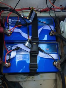
Next project was done in Bellingham. After only one night living off the grid and despite using very few lights or other energy consumers our 8 year old  batteries could barely turn over the engine. Uh-oh, could be a safety problem here. So, did my research, shopped the local marine supply stores and “pulled the trigger”. Marine AGM batteries are expensive little units ($300 each). Each 12 volt, 115 Amp Hour battery weighs 72 pounds so they must have a lot of stuff in there. We are now all set with our energy needs. All we need is some sun to keep them charged via our solar panels.

Here are the new batts, nice and cozy in their little box. I still need to clean up the wiring a little.

IMG_1645


Getting Tanked!

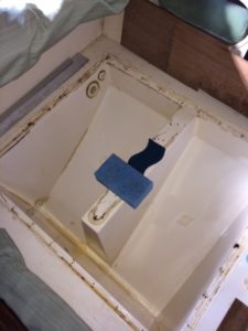
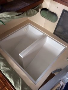
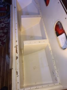
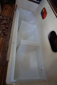
“Minor” repairs to our onboard water tanks include cleaning and all new thru-hull fittings and hoses and the installation of an inline filter. The main accomplishment was a recoat of the lining using Liquatile 1172, a food grade 2-part, solvent free epoxy (http://www.wolverinecoatings.com/liquatile-1172/). As with most minor jobs on this older girl it turns into a time-intensive project. Accessing the tank fittings, for example, requires contortions, pain, swear words, scraped knuckles, etc. But in the end sweet tasting water and the peace of mind is worth it. Mariah 31 owners, please feel free to contact me with questions.

IMG_1308IMG_1544

before             Port tank (approx 40 gal)        after

IMG_1327DSC00030

before         Starboard Tank  (approx 60 gal.)           after